Day 12 Power — Where the factory floor meets the ward
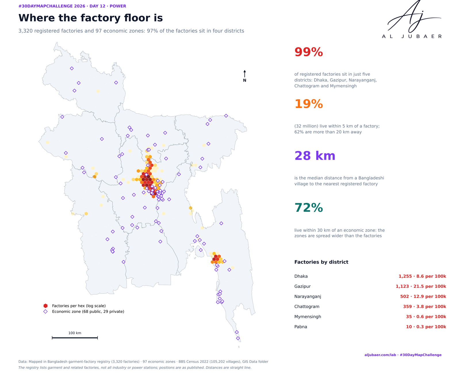
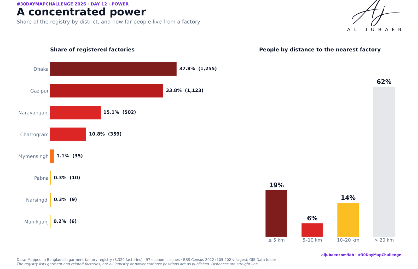
I read “Power” as industrial power — the garment factories that drive the economy — and measured how far each one is from a hospital, a pharmacy and a fire station. Dhaka: 690 mapped garment factories inside Dhaka. Chattogram: 332 mapped garment factories inside Chattogram.
Write-up
The question
How far is each garment factory in Dhaka and Chattogram from a hospital, a pharmacy and a fire station — and where are the care gaps for the people who work there?
Data
BD Hospital Dataset (hospitals, clinics, pharmacies), fire stations, garment factories, economic zones and major roads from the GIS Data folder; BBS Population and Housing Census 2022 thana populations; city-corporation boundaries. The registry is incomplete and urban-biased; population per 250 m cell is a dasymetric model; distances are straight lines in UTM 46N.
Methods
- Study areas: the two Dhaka city corporations (DNCC + DSCC, 53 thana polygons, 10,250,630 people) and Chattogram City Corporation (15 thanas, 3,273,329 people), BBS Population and Housing Census 2022. White gaps on the maps are outside the corporations (cantonment, airport, water).
- Health facilities: the BD Hospital Dataset in the GIS Data folder, split into hospitals, clinics and pharmacies from the type and name keywords; pharmacies within 25 m of each other merged; an ‘emergency / 24 h’ flag from the name and type. Dhaka: 475 hospitals, 507 clinics, 2,049 pharmacies, 44 fire stations. Chattogram: 160, 51, 405 and 24.
- Where people live: the census gives thana totals only, so each thana total is spread over a 250 m grid in proportion to a Gaussian kernel (σ = 400 m) of settlement proxies — mobile-phone towers, mosques, schools, health points, pharmacies, hospitals — plus a small floor. Cell sums equal the census total exactly (checked).
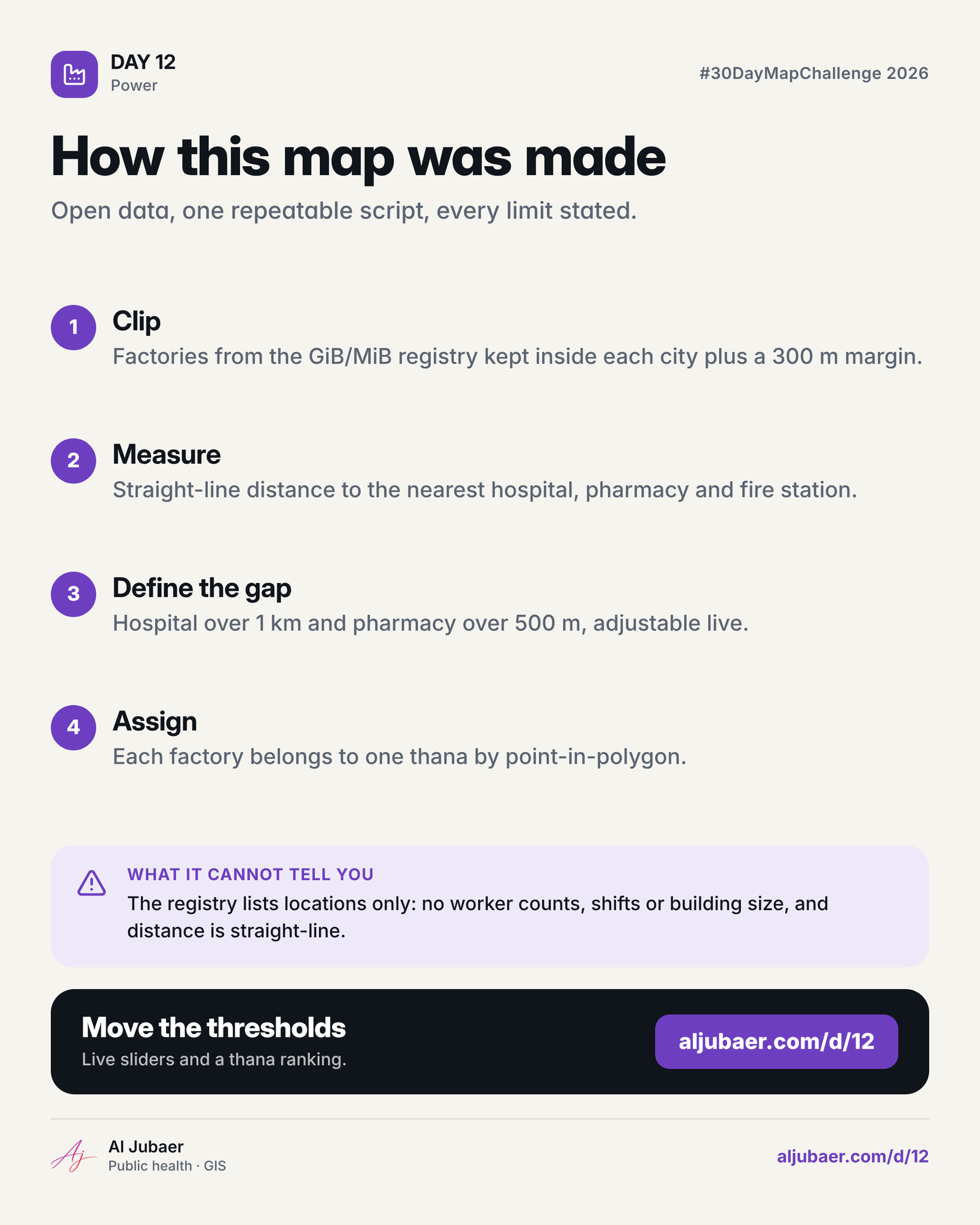
- Factories: the garment-factory registry in the GIS Data folder, clipped to each city corporation plus 300 m (factories just outside the boundary still use the city’s health system); economic zones from the economic-zone layer; fire stations from the fire-station layer.
- For every factory the nearest hospital, any health point, pharmacy and fire station are found with a cKDTree (metres, UTM 46N); the nearest index is kept so the web map can draw the connecting line.
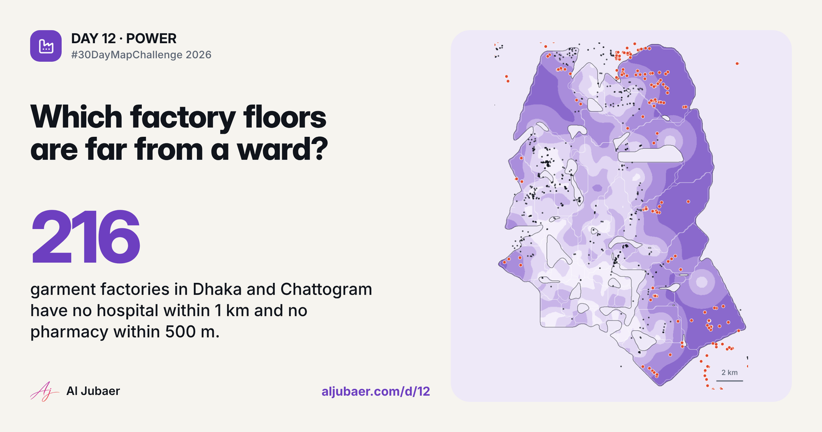
- Care gap = hospital farther than 1 km AND pharmacy farther than 500 m (defaults); the web sliders replace the three thresholds and recount instantly. Thana shading is the live count of gapped factories (or factories, or factories per 100,000).
Findings
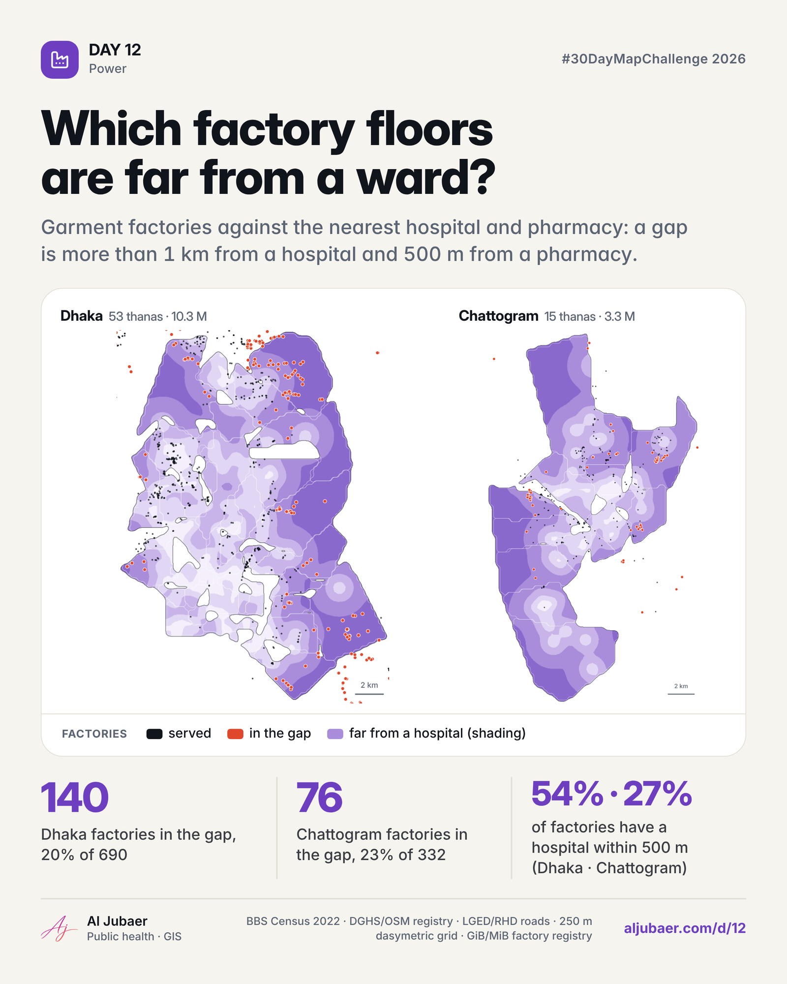
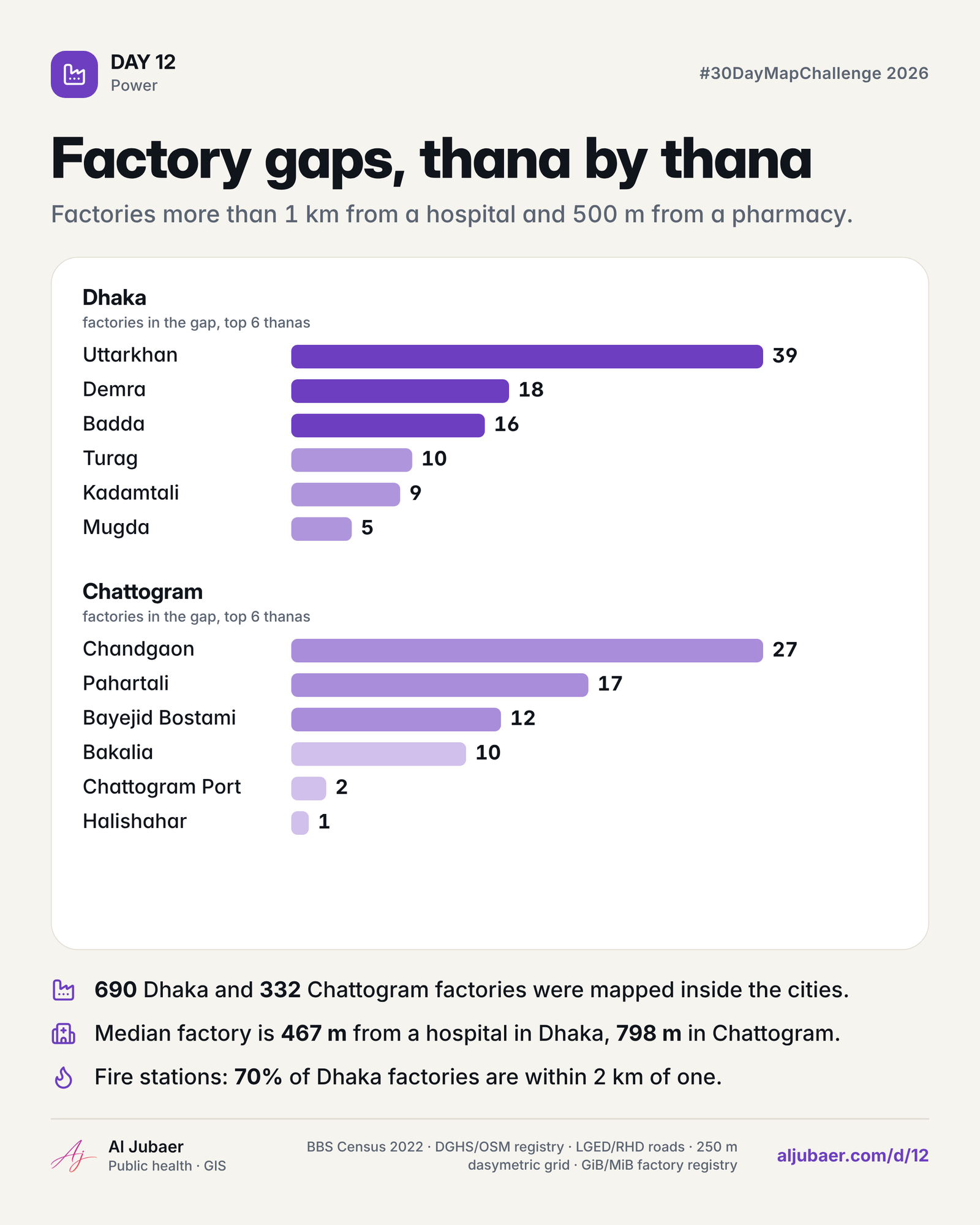
Dhaka — 690 factories are mapped inside Dhaka; 54.1% have a hospital within 500 m and 78.3% within 1 km. The median factory is 467 m from a hospital and 1.6 km from a fire station (worst 5.1 km).
Dhaka — 140 factories (20.3%) are in a ‘care gap’: no hospital within 1 km and no pharmacy within 500 m. Drag the three sliders to define your own ‘safe’ and the count updates live.
Dhaka — Most factories: Pallabi 66, Uttarkhan 49, Turag 42; per 100,000 residents the densest are Uttarkhan (39) and Rampura (25).
Dhaka — Farthest from a hospital: Rafia Knitwears (4.6 km), G Garments (4.3 km), Sameer & Co. (4.3 km).
Chattogram — 332 factories are mapped inside Chattogram; 26.8% have a hospital within 500 m and 60.2% within 1 km. The median factory is 798 m from a hospital and 1.7 km from a fire station (worst 7.6 km).
Chattogram — 76 factories (22.9%) are in a ‘care gap’: no hospital within 1 km and no pharmacy within 500 m. Drag the three sliders to define your own ‘safe’ and the count updates live.
Chattogram — Most factories: Bayejid Bostami 75, Chandgaon 55, Pahartali 47; per 100,000 residents the densest are Pahartali (25) and Bayejid Bostami (19).
Comments & reviews
What you write appears here once it has been approved.
More from the Open Lab
 Web map & dashboard
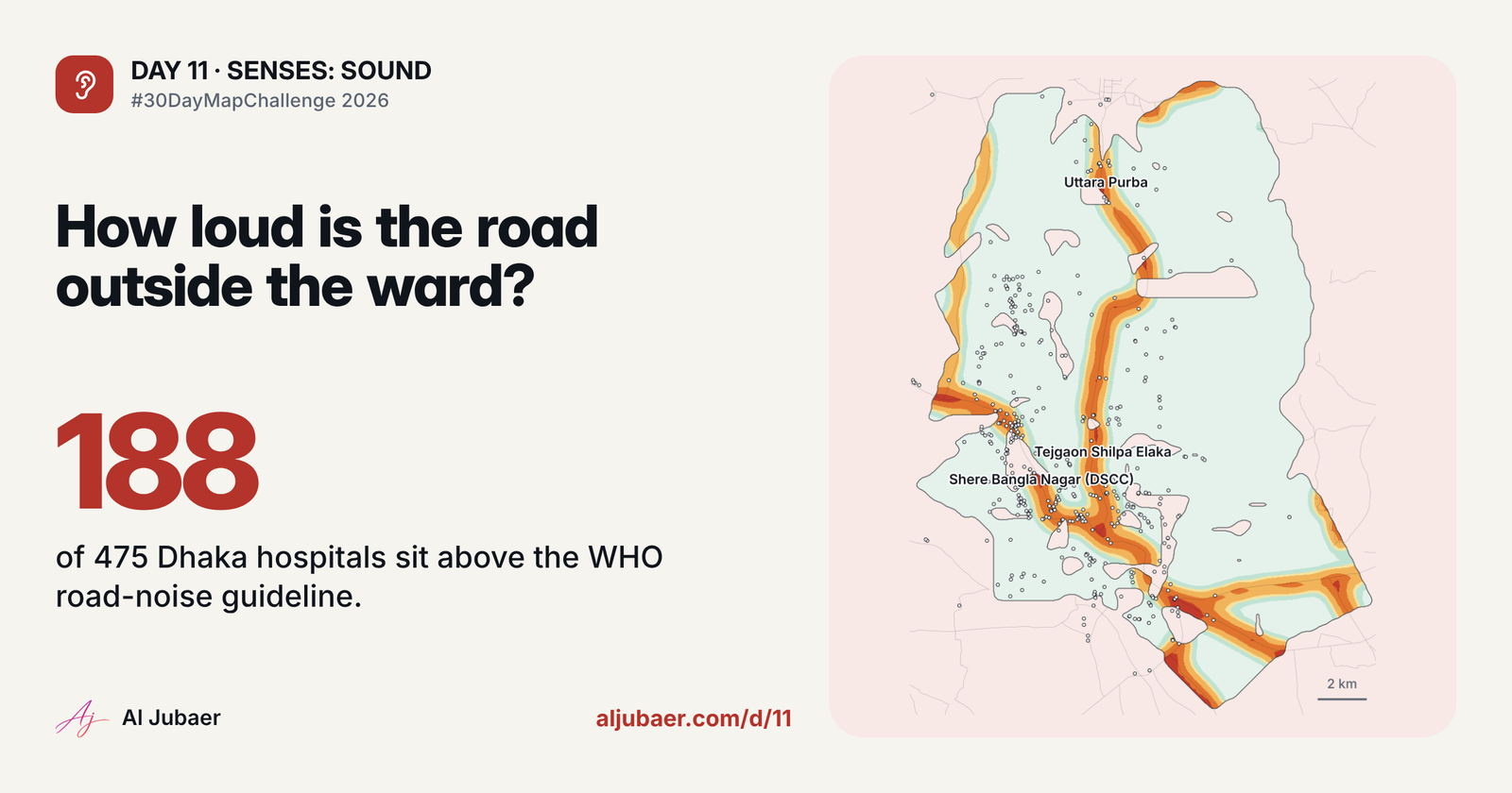
Day 11 Senses: Sound — The sound of the road outside the hospital
 Web map & dashboard
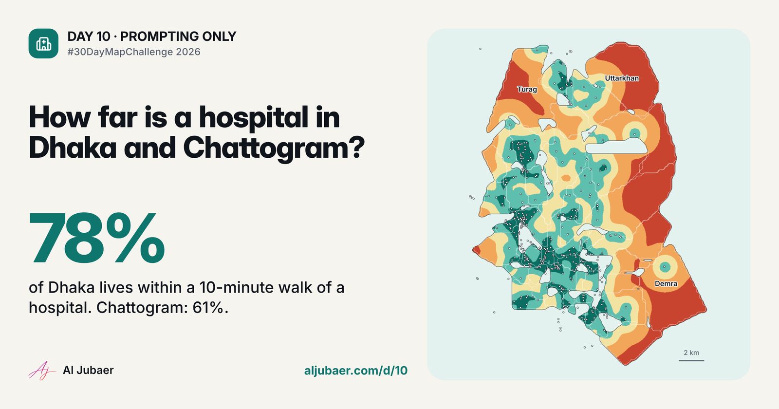
Day 10 · Prompting only — One sentence, one health map
 Web map & dashboard
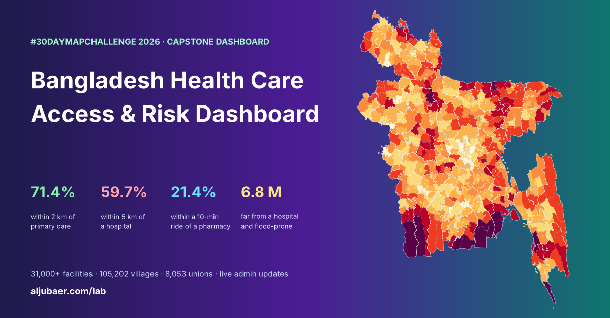
Bangladesh Health Care Access & Risk Dashboard
 Web map & dashboard
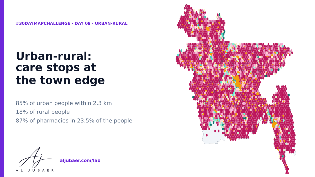
Day 9 · Urban-rural — Care stops at the town edge: the urban–rural gap in access to pharmacies and hospitals