Day 8 · Utopia — Ten minutes from care, for everyone: where the next care points should go
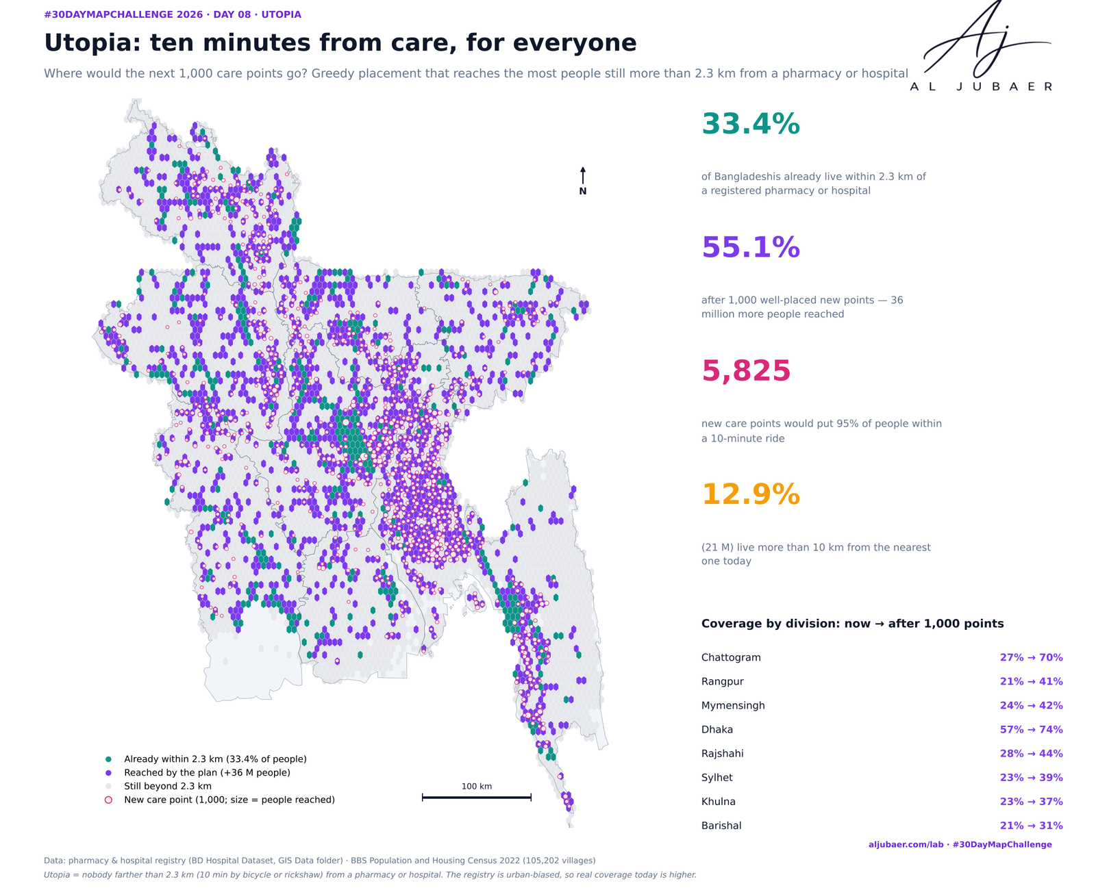
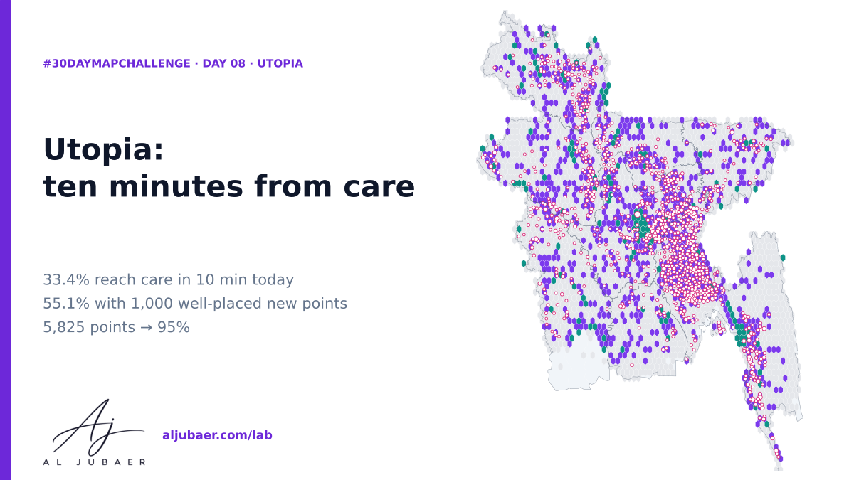
Utopia is a Bangladesh where nobody is more than a 10-minute bicycle ride (2.3 km) from a pharmacy or hospital. Today only 33.4% of Bangladeshis are. Placing new care points one by one where they reach the most still-uncovered people, the first 1,000 lift coverage to 55.1% (36 million more people), 5,825 reach 95%, and 7,828 reach 99%. A planning map, not a prescription — the registry is urban-biased.
Write-up
The question
If Bangladesh could add care points anywhere, how many would it take for everyone to be a 10-minute ride from a pharmacy or hospital — and where should the first ones go?
Data
Pharmacy and hospital registry points from the BD Hospital Dataset (GIS Data folder); BBS Population and Housing Census 2022 GIS layers (villages). The registry is incomplete and urban-biased. Coverage uses straight-line 2.3 km, not travel time. Site choice is greedy maximum coverage over census villages, an illustration of the method rather than a siting recommendation.
Methods
- Existing care points: 105,202 census villages with the distance to the nearest pharmacy or hospital in the registry (the Day 7 table; BD Hospital Dataset in the GIS Data folder).
- Covered = nearest pharmacy or hospital within 2.3 km (10 minutes by bicycle or rickshaw at 14 km/h); straight line in UTM 46N.
- Utopia plan: greedy maximum coverage. Repeatedly open a new care point at the village that brings the most still-uncovered people inside 2.3 km; a k-d tree gives every village's neighbours, and gains are updated after each pick.
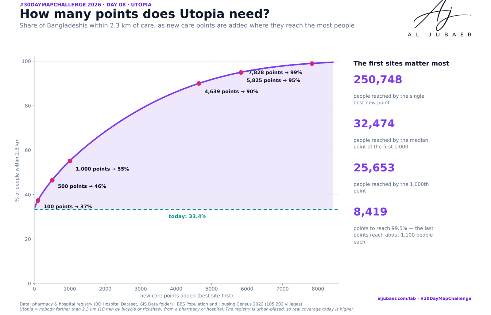
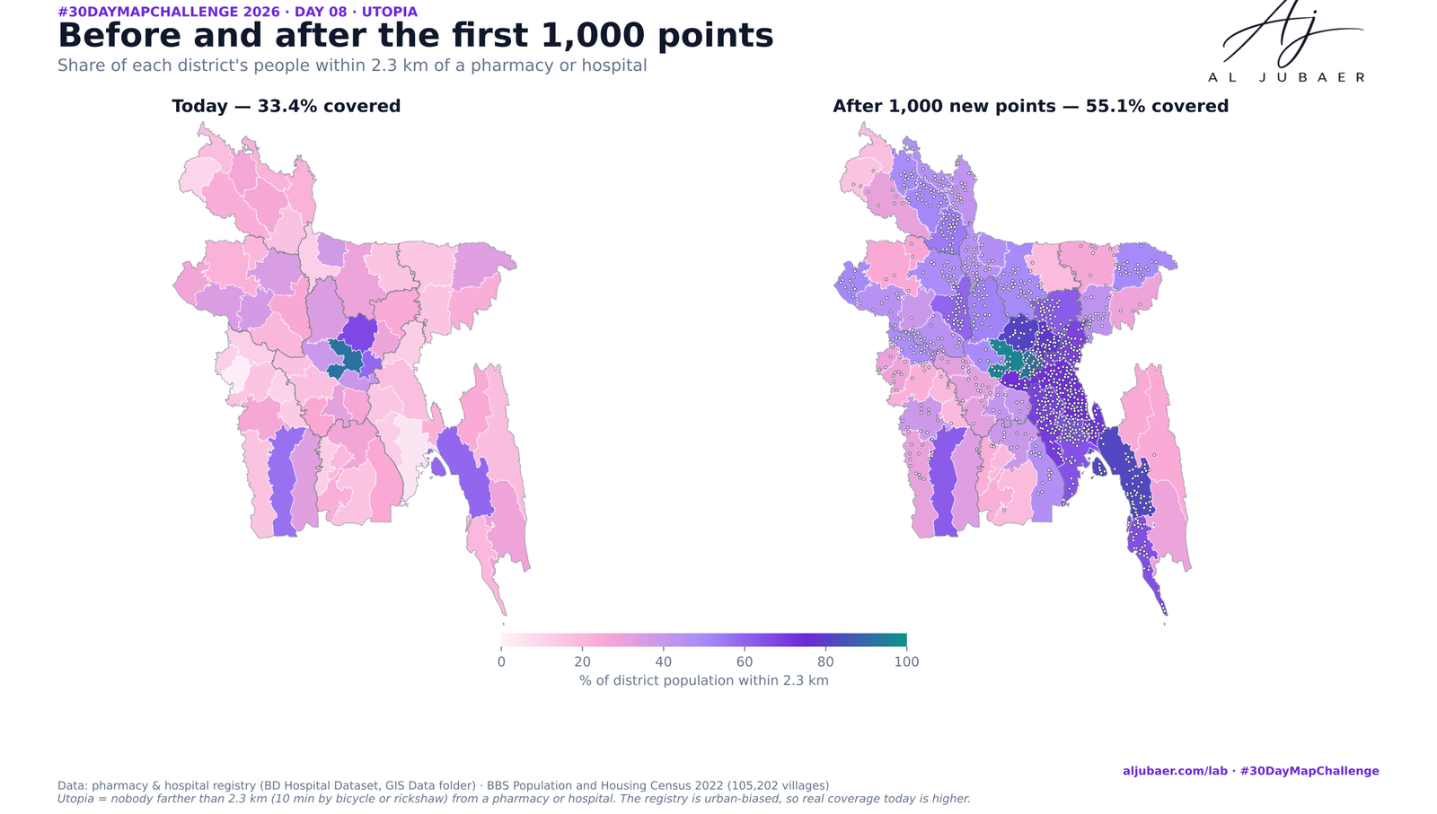
- Outputs: the coverage curve for up to 8,419 new points, the first 1,000 sites (the plan), people reached per site, and today vs after-plan coverage by union, district and division.
- Honest limits: the registry is incomplete and urban-biased, so today's coverage is a lower bound and the best sites are partly where the registry is thin. Greedy is not optimal, and a real plan would use roads, travel time, staff and demand. Python: GeoPandas, SciPy, Matplotlib. Web map: TopoJSON in Leaflet.
Findings
Only 33.4% of Bangladeshis (55 million) live within 2.3 km of a registered pharmacy or hospital; 110 million do not, and 12.9% (21 million) are more than 10 km away.
The first 1,000 well-placed new care points lift coverage to 55.1% and reach 36 million more people — about 36,041 per point.
Utopia is a long tail: 4,639 points reach 90%, 5,825 reach 95% and 7,828 reach 99%. The single best site reaches 250,748 people; the 1,000th reaches 25,653.
The best first sites: Adarshanagar (Narayanganj, 250,748 people), Puniaut (Brahmanbaria) and Pashchim Shaildubi (Gazipur).
Chattogram division gains the most: 27% to 70% with 373 of the 1,000 points; Dhaka goes from 57% to 74%.
The districts with the lowest coverage today: Chuadanga (2%), Noakhali (5%) and Thakurgaon (10%). Cumilla gains the most people (3.5 million).
Why it matters: a map of where the next point reaches the most people is a first filter for health-service planning, to be checked against roads, staffing and the facilities the registry does not list.
More from the Open Lab
 Web map & dashboard
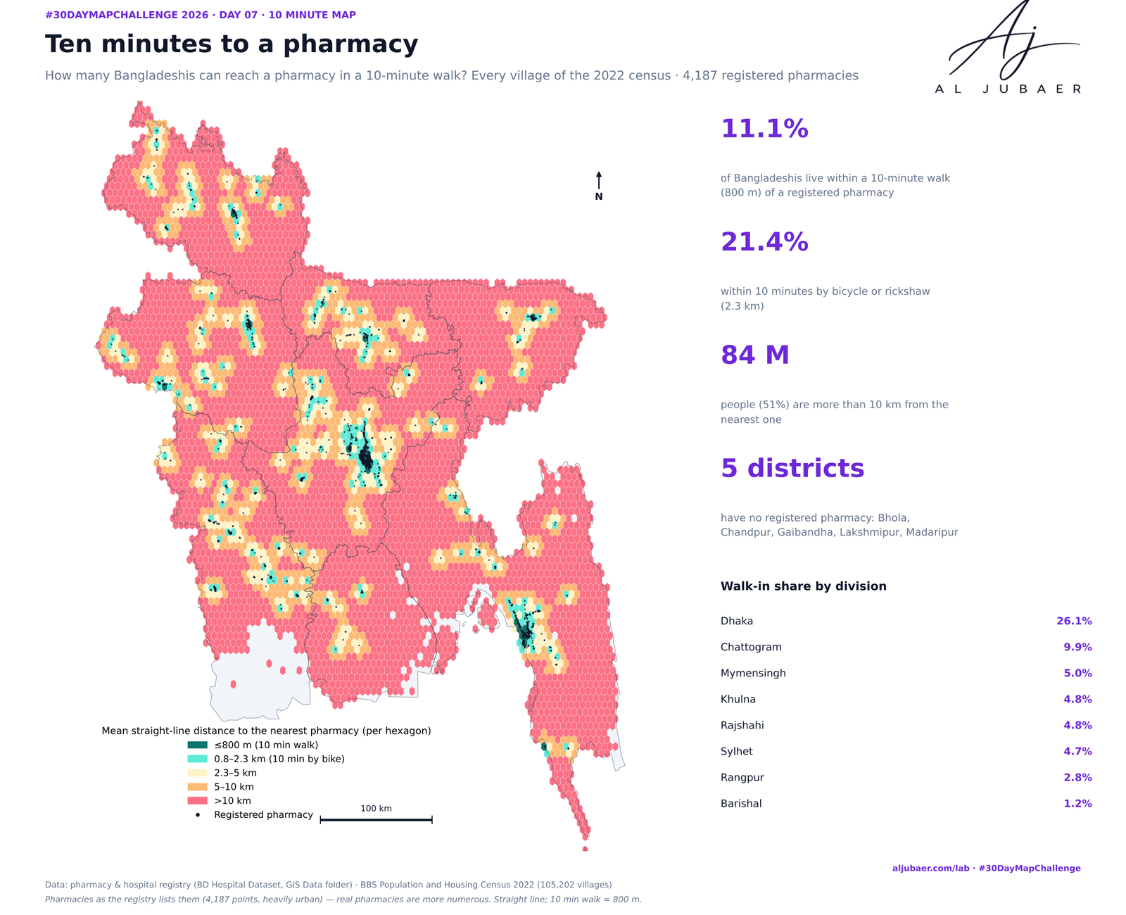
Day 7 · 10 minute map — Ten minutes to a pharmacy: who can walk to medicine?
 Web map & dashboard
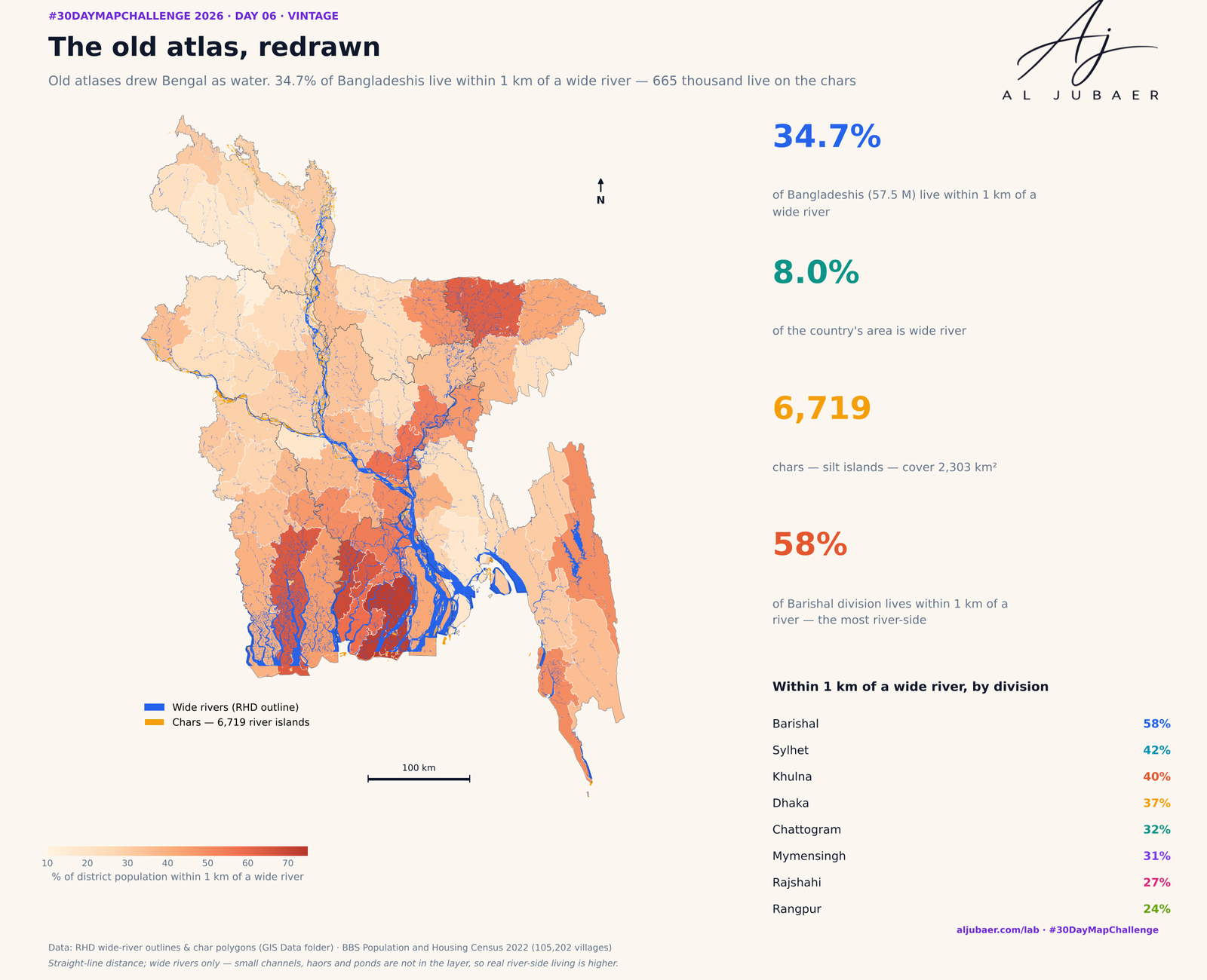
Day 6 · Vintage — The old atlas, redrawn: who lives by Bangladesh's rivers and chars
 Web map & dashboard
Day 5 · Senses: Sight — Out of sight: how far Bangladesh lives from an eye hospital
 Web map & dashboard
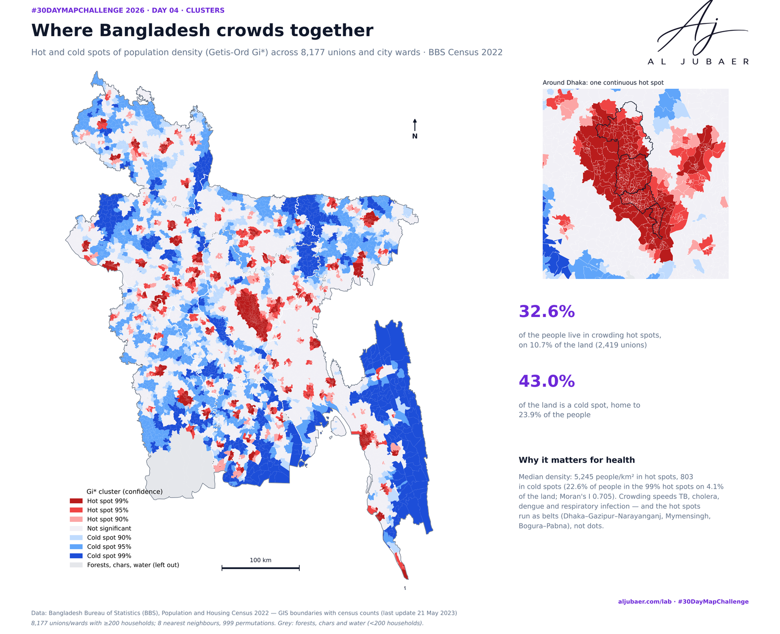
Day 4 · Clusters — Where Bangladesh gathers: crowding, leaving and the missing men