Al Jubaer — geospatial data scientist, icddr,b
Curious what else I've created?
65 works · 12 featured: web GIS apps, atlases, map series, infographics, Open Lab pieces and field photos.
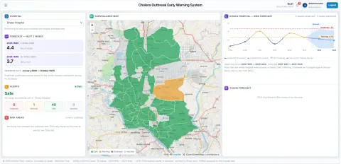 ★ Featured 2025–now Research & analysisCholera Outbreak Risk Prediction & Early Warning (CHOLOUT-EWS)Chakaria, Cox's Bazar
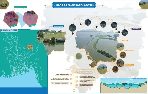 ★ Featured 2021–2023 Maps & atlasesHaor Areas of BangladeshNorth-eastern haor basin
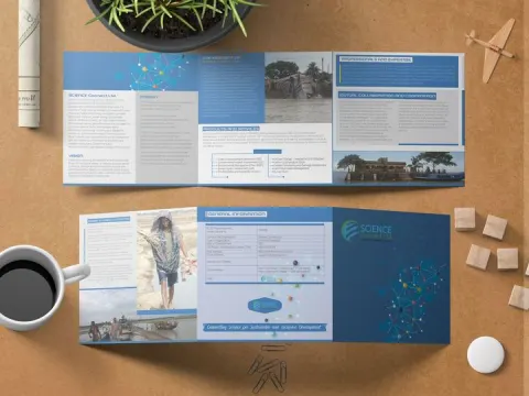 ★ Featured 2021 Graphic design & publicationsDesign work for Science Connect Ltd.Dhaka
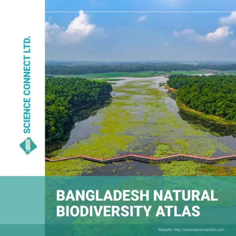 ★ Featured 2020–2021 Maps & atlasesBangladesh Biodiversity Atlas — designBangladesh (national)
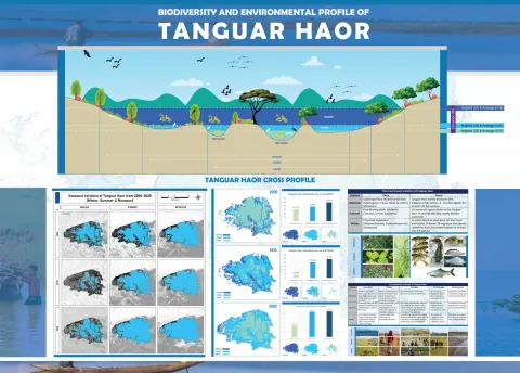 ★ Featured 2020–2021 Maps & atlasesBiodiversity & Environmental Profile of Tanguar HaorTanguar Haor, Sunamganj
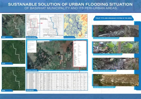 ★ Featured Research & analysisSustainable Solutions for Urban Flooding — BasirhatBasirhat Municipality, West Bengal, India
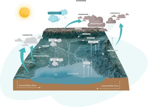 ★ Featured Graphic design & publicationsThe Hydrological Cycle of the Bengal BasinBangladesh (national)
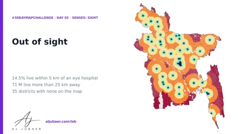 Web GIS 2026 Open Lab · AppDay 5 · Senses: Sight — Out of sight: how far Bangladesh lives from an eye hospital
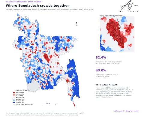 Web GIS 2026 Open Lab · AppDay 4 · Clusters — Where Bangladesh gathers: crowding, leaving and the missing men
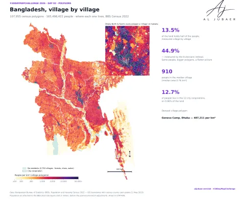 Web GIS 2026 Open Lab · AppD_3_Polygon Bangladesh Population Density Map
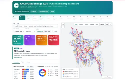 Web GIS 2026 Open Lab · MapDay 2 · Lines — Roads to care: Bangladesh's highway network
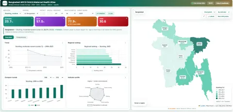 Web GIS 2026 Open Lab · AppBangladesh MICS Child & Maternal Health Atlas
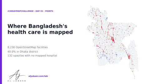 2026 Open Lab · MapDay 1 · Points — Where Bangladesh's health care is mapped
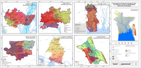 2023 Maps & atlasesMicrocredit Regulatory Authority (MRA) project mapsBangladesh (national)
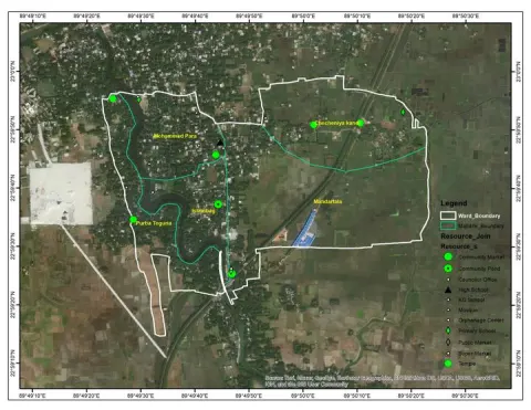 2023 Maps & atlasesMaps for DM WatchBangladesh
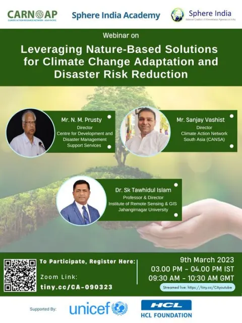 2023 Graphic design & publicationsWork for CARN-APAsia Pacific
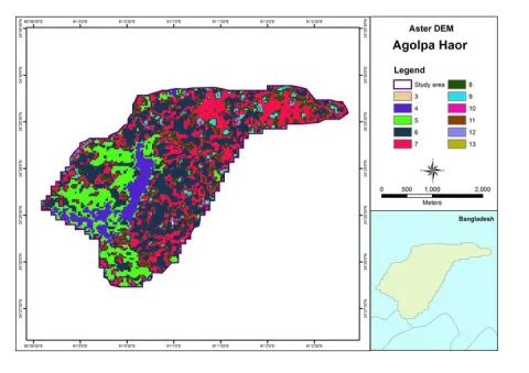 2023 Maps & atlasesFreelance map work for Mitu
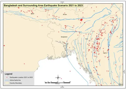 2023 Maps & atlasesFreelance map work for Azhar Mukul
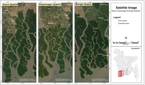 2022 Maps & atlasesKAU project mapsBangladesh
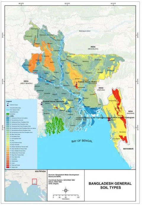 2022 Maps & atlasesFreelance map work for Dr. Billal Hossain
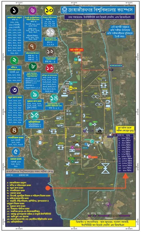 2021–2023 Maps & atlasesJahangirnagar University Campus MapJahangirnagar University campus, Savar
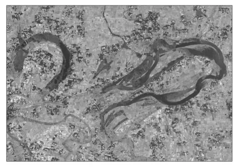 2021 Maps & atlasesMaps for Jamuna TV (and a river interview)Rajarhat, Kurigram
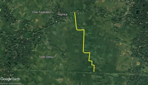 2021 Maps & atlasesWork for PRISM IndiaBasirhat, West Bengal
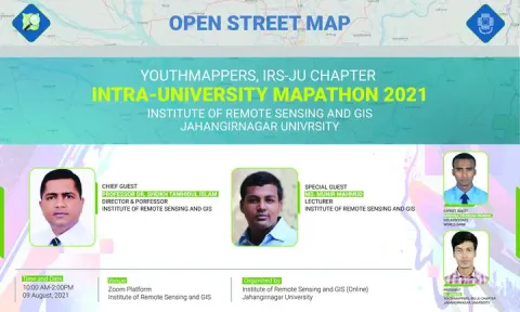 2021 Maps & atlasesYouthMappers at IRS: maps and mapathonsJahangirnagar University, Savar
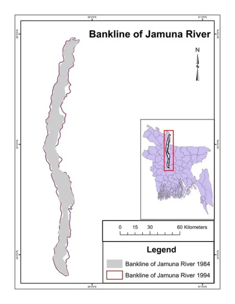 2021 Maps & atlasesFreelance map work for Humayun Kabir
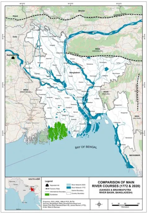 2021 Maps & atlasesFreelance map work for Mahfuz
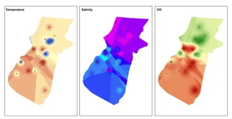 2021 Maps & atlasesFreelance map work for Royhanul Islam
 2020–2021 Maps & atlasesBangladesh Wetland Atlas — design and layoutBangladesh (national)
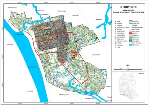 2020–2021 Research & analysisChild Labour Action Research — Southern & South-Eastern AsiaDhaka (South & South-East Asia study)
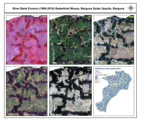 2020 Maps & atlasesUNDP project mapsCoastal mouzas (Barguna and nearby), Bangladesh
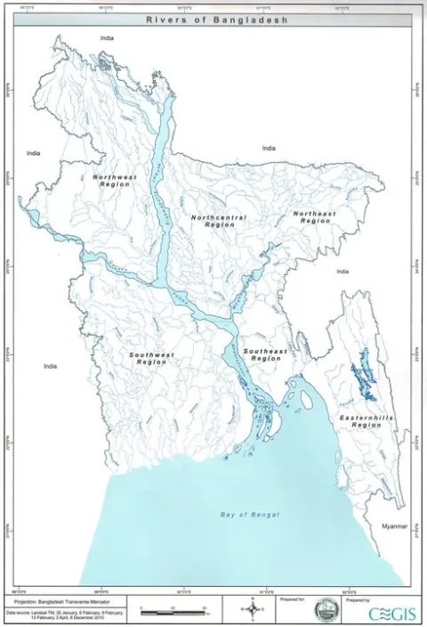 2020 Maps & atlasesVariety maps collectionBangladesh and South Asia
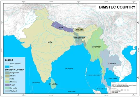 2020 Maps & atlasesGeography book: maps and illustrationsBangladesh and the region
 2020 Maps & atlasesWork for the Chougachha communityChougachha, Jashore
 2020 Maps & atlasesWork for Chougachha (Chougasa)
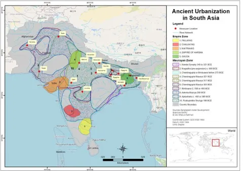 2020 Maps & atlasesFreelance map work for Rifat Shakil
 2019–2020 Graphic design & publicationsBangladesh From the Space — publication designBangladesh (national)
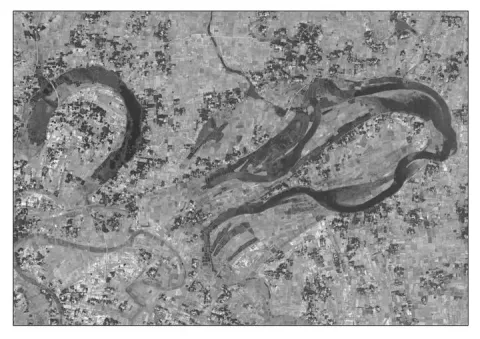 2019 Graphic design & publicationsDesign work for the Institute of Remote Sensing and GIS, JUJahangirnagar University, Savar
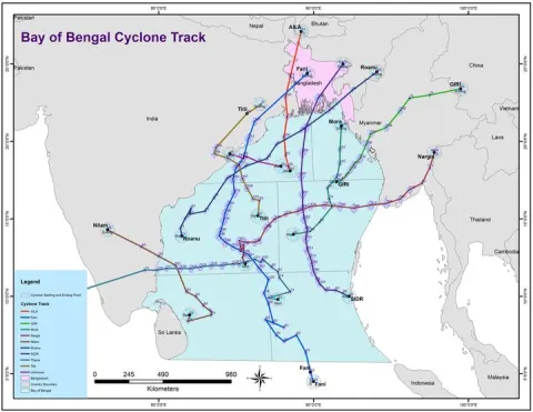 2018 Research & analysisSea Surface Temperature Dynamics in the Bay of Bengal, 1999–2018Bay of Bengal
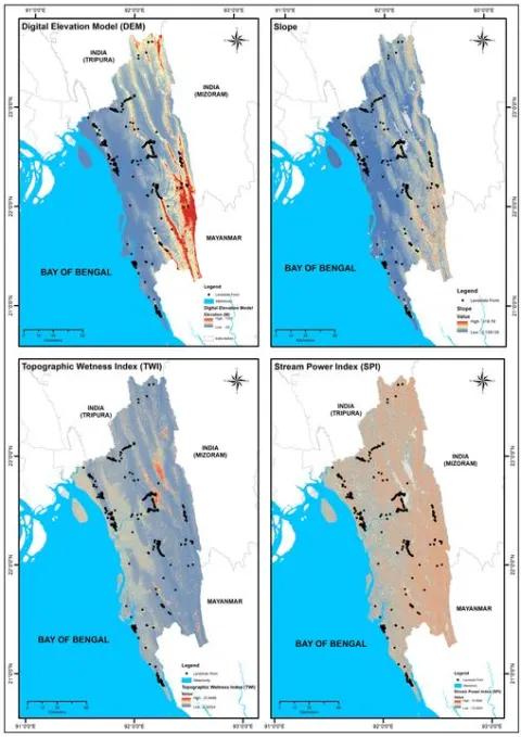 2017 Research & analysisCauses & Consequences of the 2017 Landslides in Southeastern BangladeshRangamati, Chittagong Hill Tracts
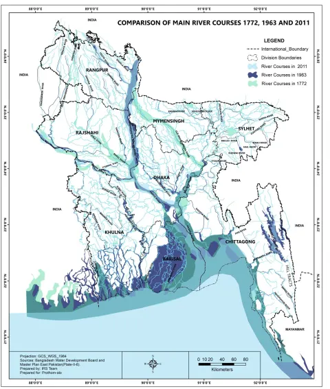 Maps & atlasesRiver Courses of Bangladesh: 1772, 1963 and 2011Bangladesh (national)
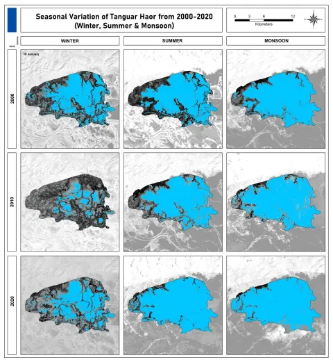 Maps & atlasesSeasonal Variation of Tanguar Haor, 2000–2020Tanguar Haor, Sunamganj
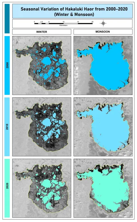 Maps & atlasesSeasonal Variation of Hakaluki Haor, 2000–2020Hakaluki Haor, Moulvibazar
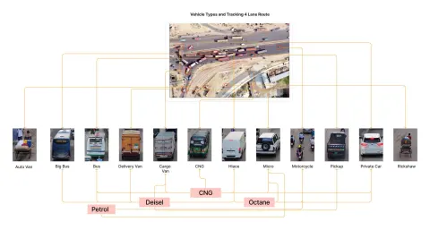 Graphic design & publicationsVehicle Types & Fuel — Air Quality Study InfographicDhaka city
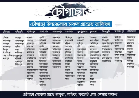 Maps & atlasesVillages of Chougachha UpazilaChougachha, Jashore
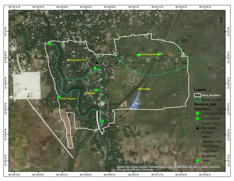 Research & analysisAns 1 C
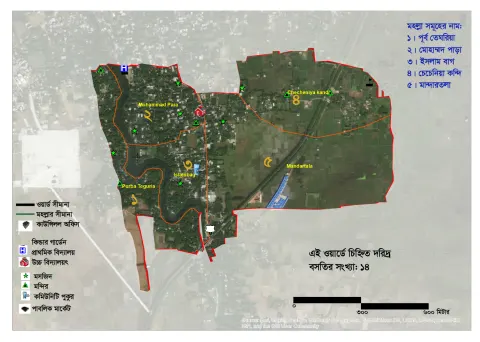 Research & analysisAns 1 D S-01
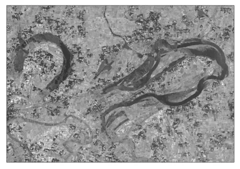 Maps & atlases1972 Map
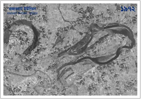 Research & analysis1972
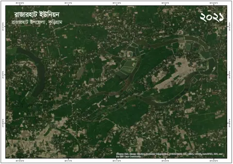 Research & analysis2021
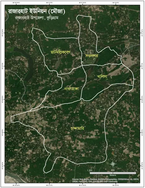 Research & analysisRajarhat Union
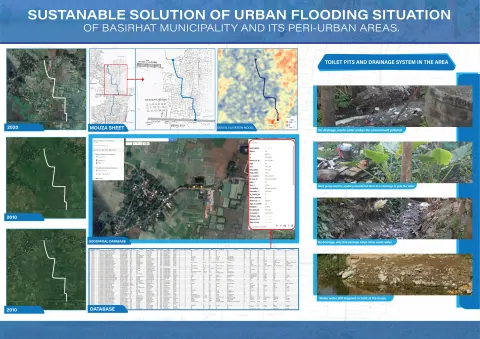 Research & analysisSUSTANABLE-SOLUTION-OF-URBAN-FLOODING-SITUATION-of-BASIRHAT-Municipality-and-its-Peri-urban-areas
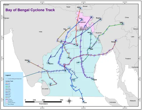 Research & analysisCyclone Tract
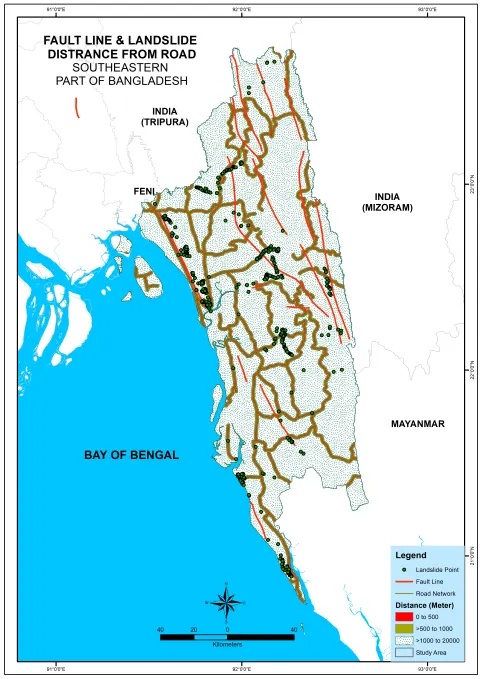 Research & analysisEarthquake & Fault Line
 Research & analysislandslide
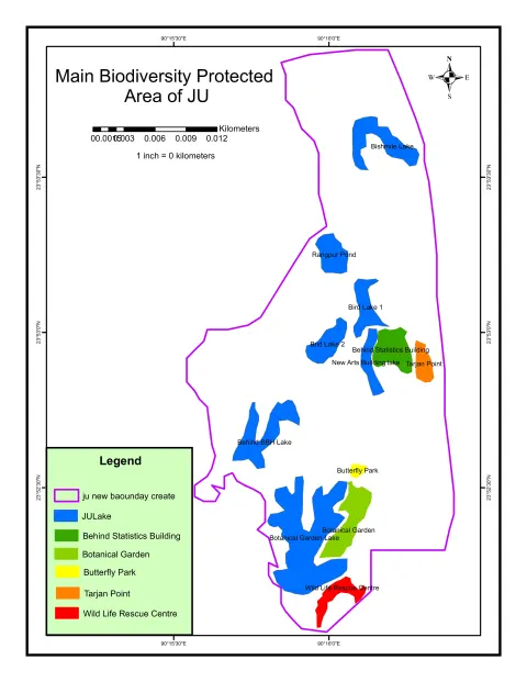 Maps & atlasesJU Map Biodiversity
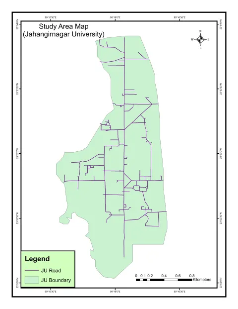 Maps & atlasesJU Map
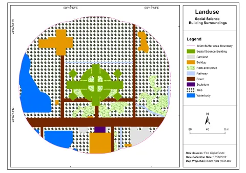 Research & analysisSSA-01
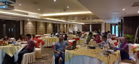 Field & life photosICIMOD training — Banani, Dhaka
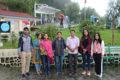 Field & life photosICIMOD, Kathmandu — Nepal
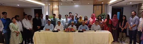 Field & life photosICIMOD workshop group — Banani
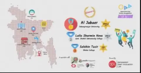 Field & life photosBOIL Mapathon — 1st Position
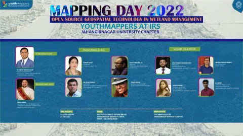 Field & life photosMapping Day 2022
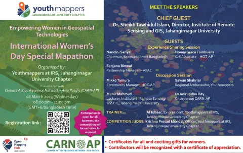 Field & life photosWomen's Day Mapathon — Trainer
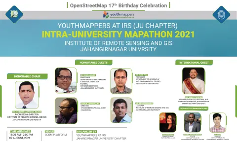 Field & life photosIntra-University Mapathon 2021
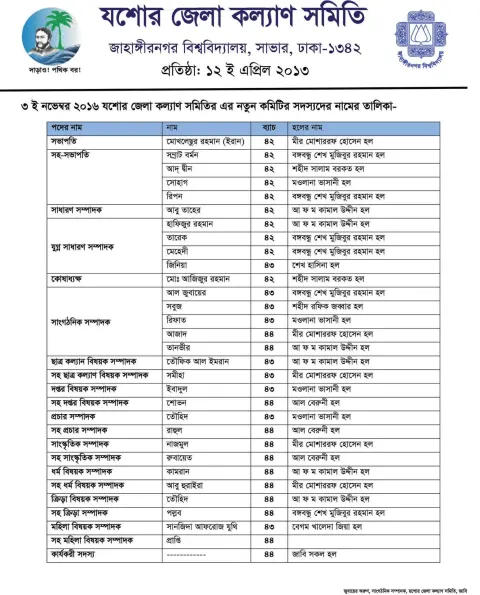 Field & life photosJessore Students Association
See every work55 projects on the Work page→
Research, maps, Web GIS
& design
Every work sits in one of the disciplines below. Pick one to open it on the Work page.
Questions I'm working on
Spatial epidemiology, climate-sensitive disease and Earth observation for low-resource settings.
How can satellite data warn communities before an outbreak or a heatwave hits?
- ✦Cholera outbreak-risk prediction & early warning (Wellcome Trust)
- ✦Heat, air quality & health at the Chakaria HDSS sentinel site
- ✦Urban air pollution (NO₂) from Sentinel-5P
- ✦Health-facility access & spatial equity in Bangladesh
- ✦Flood, landslide & climate-displacement risk mapping
Investigating Variability of Roadside Air Pollution and Its Association with Traffic Volume in Urban Areas, Bangladesh
PollutionFactors influencing spatiotemporal variability of NO2 concentration in urban area: a GIS and remote sensing–based approach
Environmental Monitoring and AssessmentWetlands of Bangladesh
Wetlands of Tropical and Subtropical Asia and AfricaEngaging Youth in Flood Risk Management: A Citizen Science Geospatial Initiative in Bangladesh
Lecture Notes in Civil EngineeringFrom a village in Jashore to icddr,b, and on
33 years7 chapters23 institutions9 positions126 people35 works▶ Watch the journey
Click anything: everything from the same years lights up · − / + to zoom.
Every place I have stood,
on one map
403 places in 58 of 64 districts, India 12, Nepal 2. Darker districts are the ones I know best. Point at a district or a photo.
One umbrella: every page,
hub & site
Life story, research hubs, learning platforms, data and tools: all the parts of aljubaer.com and its sister sites.
About
About meWho I am, what I do, education and skills Professional experienceEvery position since 2017, by time or by organisation Academic recordProgrammes, subjects, credits and grades Learning ladderEvery class from the moktab to today CertificatesCourses and trainings, with what each taught Courses & teachingWho taught me each course, and the courses I teachResearch
PublicationsPublished papers and manuscripts in progress Co-authorsEveryone I have published with, paper by paperWork
Projects & case studiesAtlases, WebGIS, research and map design — with a project map Work showcaseMaps, analysis, dashboards and websites — all in one place All my sitesEvery site I run, connected on one map Data HubDatasets I publish and maintain Pulse ObservatoryLive environmental signals Knowledge networkTopics, tools and careers as a graph Bangladesh AtlasDivision to mouza, facilities, MICS indicators — browse free Hire meTell me about your project — maps, analysis or a websiteOpen Lab
Open LabEverything: maps, dashboards, code and data, open to all Web maps & dashboardsLive, interactive — open them in the browser Map storiesFinished maps with the story behind them Code & notebooksPython, R, SQL and Earth Engine — copy or download DatasetsShapefiles, GeoJSON, CSV and rasters to reuse #30DayMapChallenge30 days, 30 maps — one map a day through November #30DayMapChallenge dashboardEvery day's public-health map, charts & data Open Geospatial Data HubOpen geospatial resourcesLifescape
LifelineSeven chapters, 1993 to today My DomainEvery stage, institution and person, joined up RoutePast · today · next: where I began and where I am going Footprint mapEvery place, photo and work on a map ExhibitionEvery work on a timeline Family treeGreat-grandparents to the next generation, on one canvas PeopleFamily, teachers, friends and colleagues FavouritesFood, places, books, people and moreLet's map something that matters.
Open to PhD/MS supervision conversations, research collaboration and GIS consultancy.