Day 9 · Urban-rural — Care stops at the town edge: the urban–rural gap in access to pharmacies and hospitals
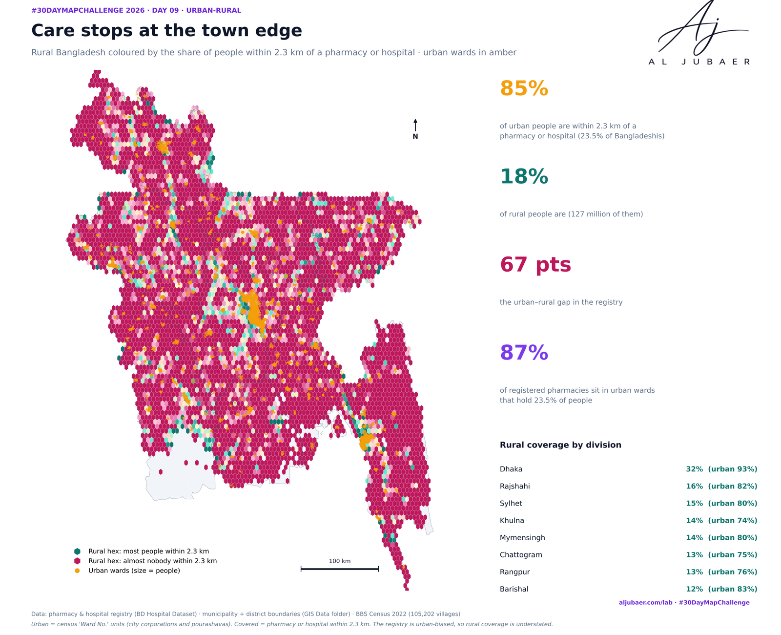
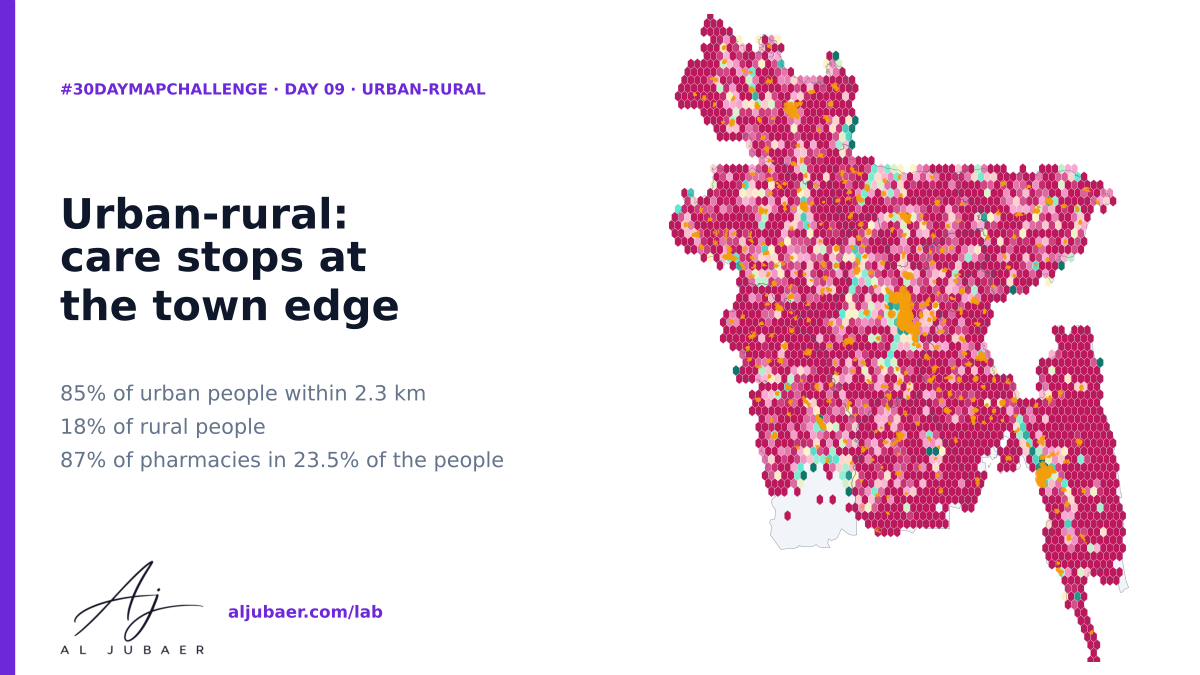
Bangladesh counts 23.5% of its people in urban wards, yet 87% of registered pharmacies and 75% of hospitals and clinics sit there. 84.7% of urban people are within a 10-minute bicycle ride (2.3 km) of care; only 17.6% of rural people are — 67 points apart.


Write-up
The question
How different is access to a pharmacy or hospital in a city ward, a town and a village — and where is the urban–rural gap widest?
Data
Pharmacy and hospital registry points from the BD Hospital Dataset (GIS Data folder); municipality and district boundaries (GIS Data folder); BBS Population and Housing Census 2022 GIS layers (villages). Urban = census 'Ward No.' units. The registry is incomplete and urban-biased, so the rural figures are lower bounds. Coverage uses straight-line 2.3 km, not travel time.
Methods
- Urban or rural: the census urban unit. A village row whose union is a 'Ward No.' (city corporation or pourashava ward) is urban; pourashava wards inside the 328 municipality polygons (municipality.geojson, GIS Data folder) are 'Town', other urban wards 'City'; everything else is rural. 38,970,591 people (23.5%) are urban.
- People: BBS Population and Housing Census 2022 — 105,202 villages (the Day 7 village table), 165,498,425 people, each village its inside point.
- Care: nearest pharmacy or hospital in the registry (BD Hospital Dataset); covered = within 2.3 km (10 minutes by bicycle or rickshaw), straight line in UTM 46N.
- Where the registry sits: every registered pharmacy and hospital is assigned to the nearest village (within 3 km) and counted as urban or rural; per-100,000 rates use the urban and rural populations.
- Summaries: coverage by class, union, district and division; gap = urban coverage minus rural coverage (districts with at least 50,000 urban people).
- Honest limits: the registry is urban-biased, so rural coverage is a lower bound and the gap is overstated; the registry is also thin in some towns (Chuadanga, Noakhali, Brahmanbaria), which understates urban coverage there. Python: GeoPandas, SciPy, Matplotlib. Web map: TopoJSON in Leaflet.
Findings
84.7% of urban people (39 million) live within 2.3 km of a registered pharmacy or hospital, against 17.6% of rural people (127 million): a gap of 67 points. The median urban person is 0.68 km from care, the median rural person 5.3 km.
The ladder: city wards 96%, towns (pourashavas) 71%, rural 18%. Pharmacies are the sharpest divide: 91% of city people have one within 2.3 km, 7.6% of rural people.
23.5% of people live in urban wards but 87% of registered pharmacies and 75% of hospitals and clinics do — 9.5 pharmacies per 100,000 urban people against 0.4 rural.
104 million rural people (82.4%) are beyond 2.3 km of any registered care; 20 million are beyond 10 km.
Dhaka division is the exception: 32% rural coverage, against 12–16% in every other division (Barishal lowest, 12%).
The widest district gaps: Gaibandha (98% urban vs 10% rural), Satkhira, Netrakona and Panchagarh. Most rural people beyond 2.3 km: Cumilla (4.8 million), Mymensingh (4.1 million) and Chattogram (3.6 million).
A warning about the data: Chuadanga, Brahmanbaria and Noakhali show almost no gap because even their towns look uncovered — the registry is thin there. Better pharmacy and clinic mapping, outside the cities first, is the cheapest next step.
Comments & reviews
What you write appears here once it has been approved.
More from the Open Lab
 Web map & dashboard
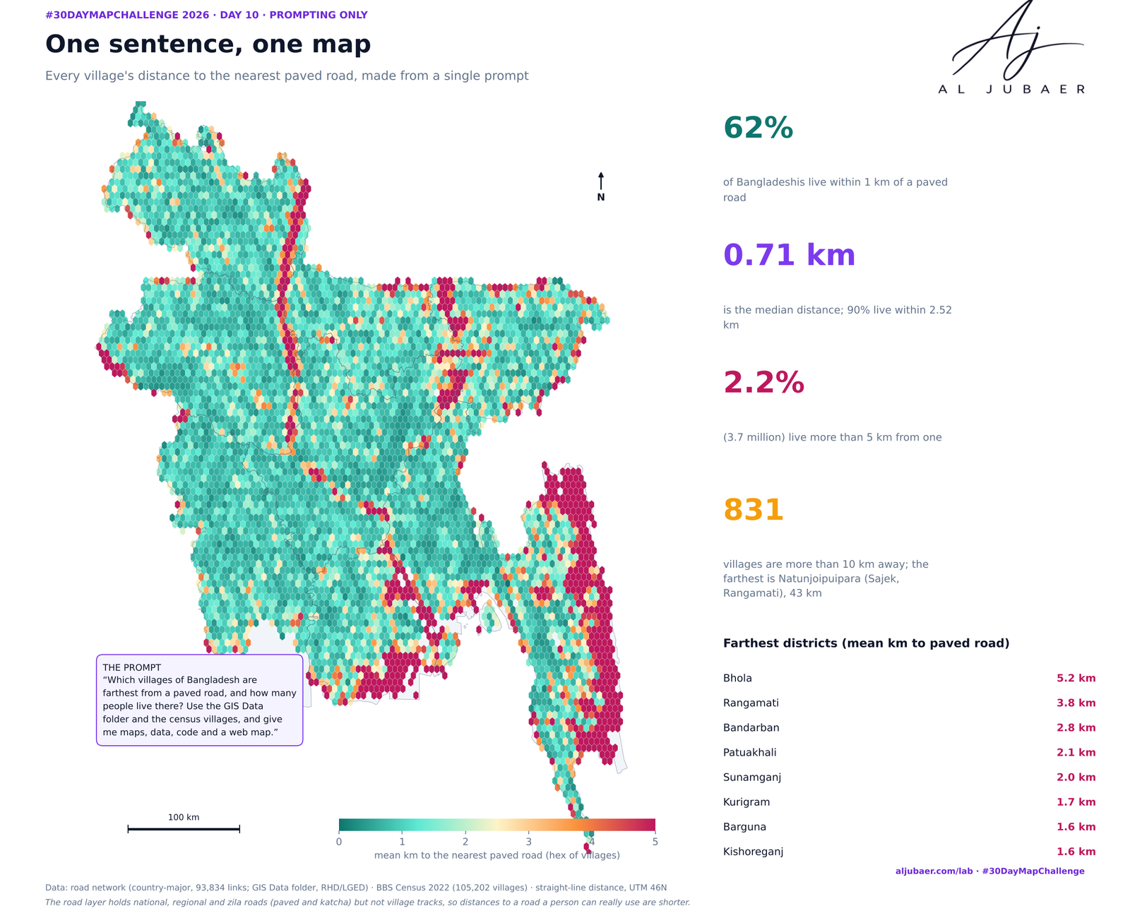
Day 10 · Prompting only — One sentence, one health map
 Web map & dashboard
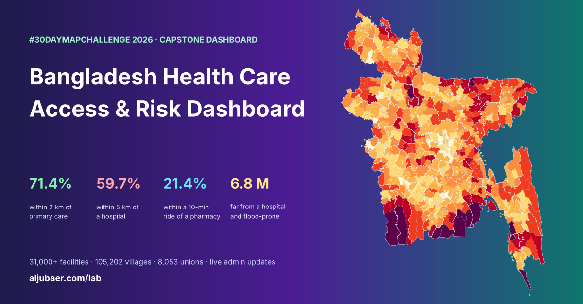
Bangladesh Health Care Access & Risk Dashboard
 Web map & dashboard
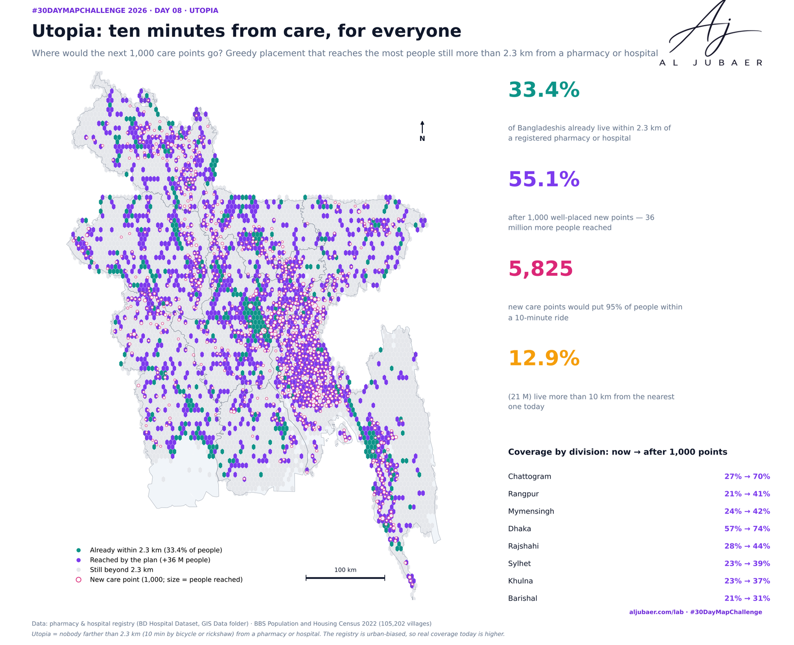
Day 8 · Utopia — Ten minutes from care, for everyone: where the next care points should go
 Web map & dashboard
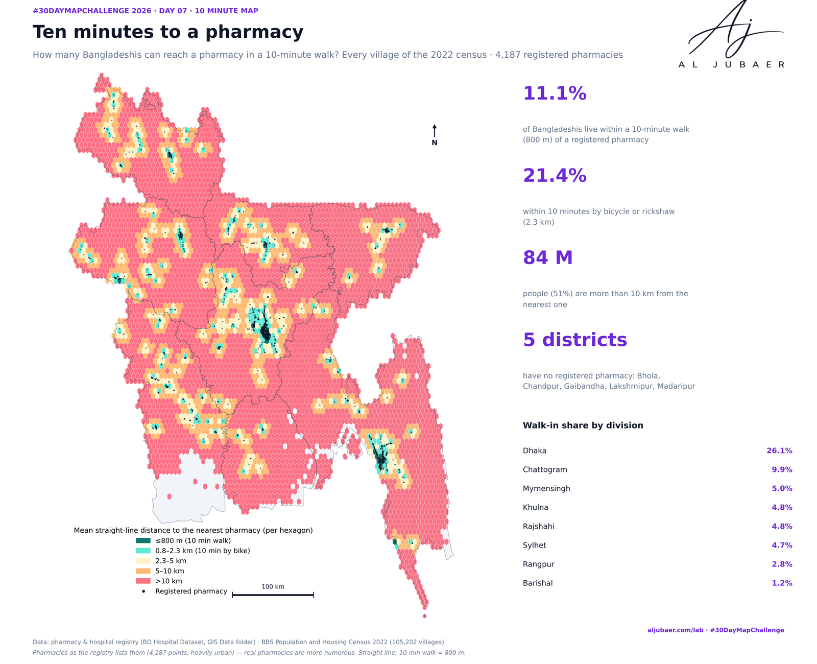
Day 7 · 10 minute map — Ten minutes to a pharmacy: who can walk to medicine?