Day 10 · Prompting only — One sentence, one health map
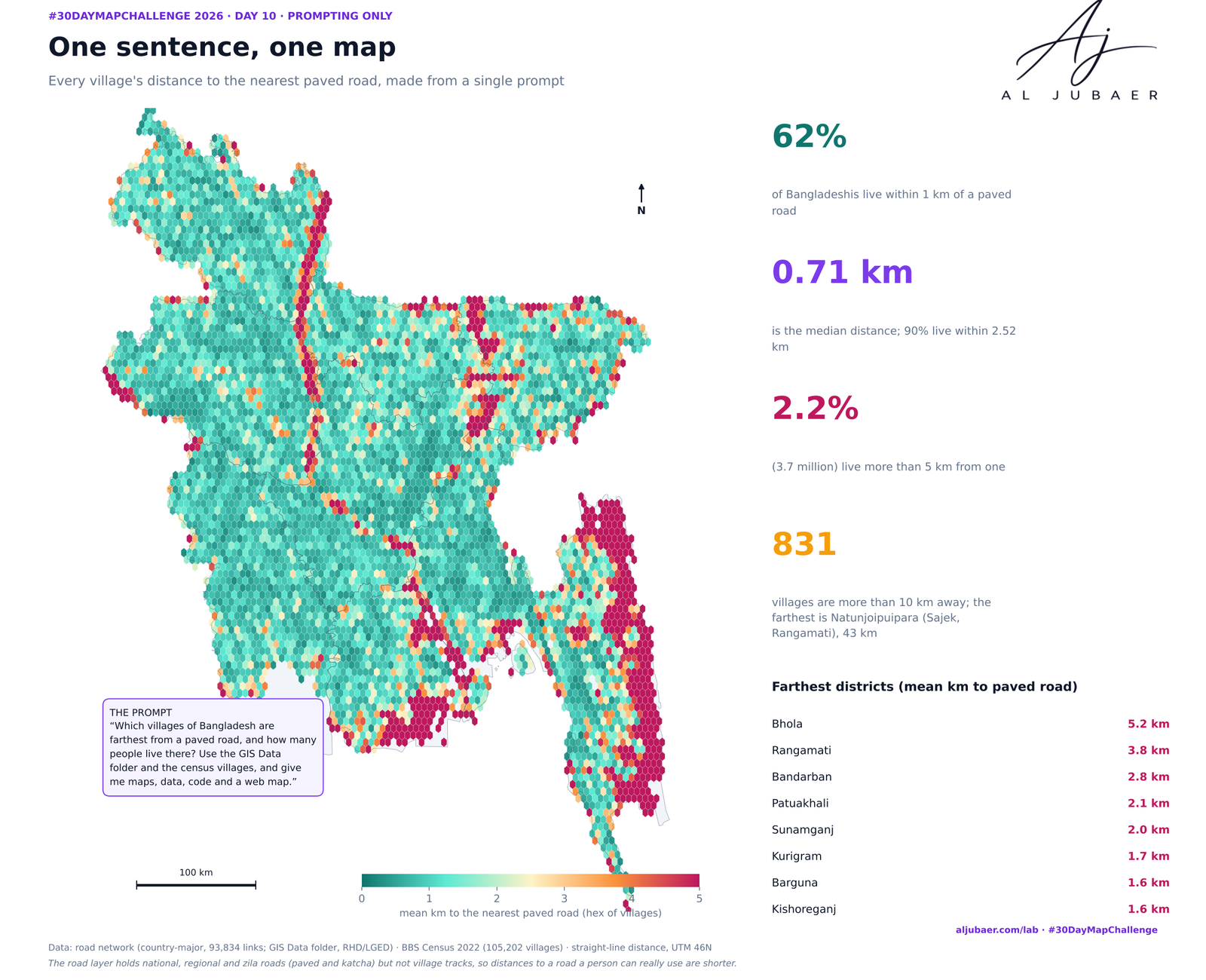
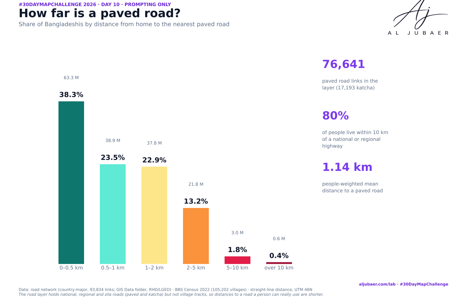
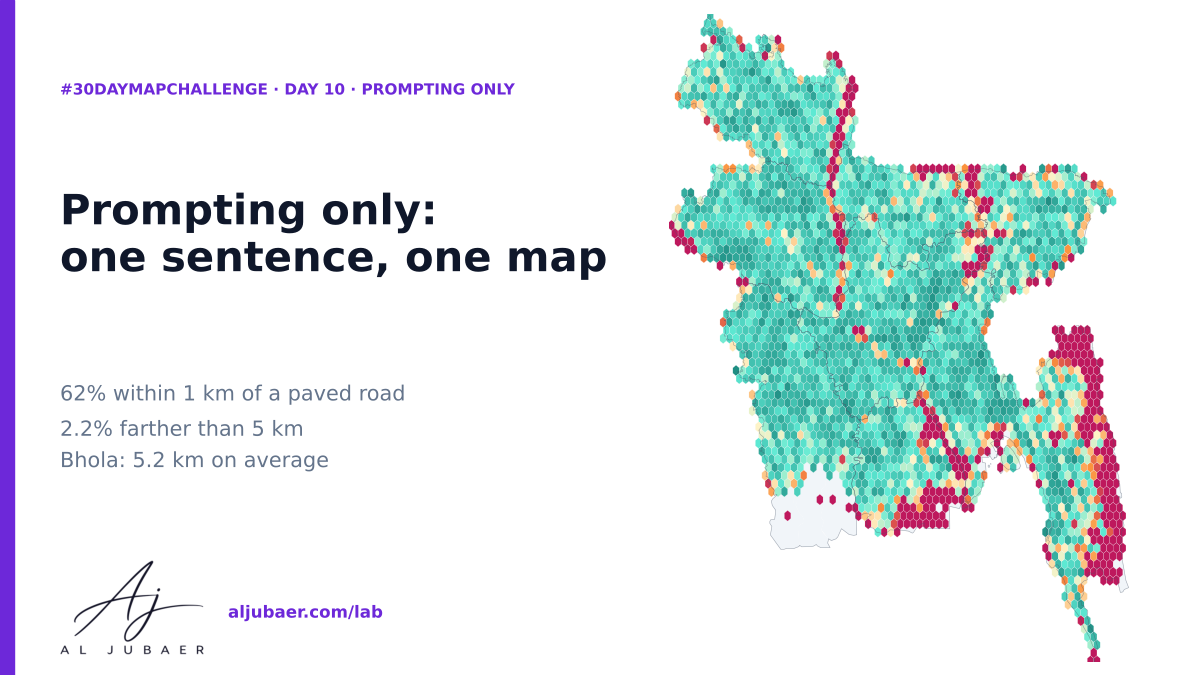
A single plain-English prompt, a full analysis: how far people in Dhaka and Chattogram live from a hospital, clinic and pharmacy. Dhaka: 77.9% of 10.3 million people live within 800 m (10 min walk) of a hospital. Chattogram: 60.7% of 3.3 million people live within 800 m (10 min walk) of a hospital.
Write-up
The question
How far do the people of Dhaka and Chattogram live from a hospital, a clinic and a pharmacy — and which thanas have the longest walk?
Data
BD Hospital Dataset (hospitals, clinics, pharmacies), fire stations, garment factories, economic zones and major roads from the GIS Data folder; BBS Population and Housing Census 2022 thana populations; city-corporation boundaries. The registry is incomplete and urban-biased; population per 250 m cell is a dasymetric model; distances are straight lines in UTM 46N.
Methods
- Study areas: the two Dhaka city corporations (DNCC + DSCC, 53 thana polygons, 10,250,630 people) and Chattogram City Corporation (15 thanas, 3,273,329 people), BBS Population and Housing Census 2022. White gaps on the maps are outside the corporations (cantonment, airport, water).
- Health facilities: the BD Hospital Dataset in the GIS Data folder, split into hospitals, clinics and pharmacies from the type and name keywords; pharmacies within 25 m of each other merged; an ‘emergency / 24 h’ flag from the name and type. Dhaka: 475 hospitals, 507 clinics, 2,049 pharmacies, 44 fire stations. Chattogram: 160, 51, 405 and 24.
- Where people live: the census gives thana totals only, so each thana total is spread over a 250 m grid in proportion to a Gaussian kernel (σ = 400 m) of settlement proxies — mobile-phone towers, mosques, schools, health points, pharmacies, hospitals — plus a small floor. Cell sums equal the census total exactly (checked).
- The prompt: written first and kept verbatim (shown on the map). It names the data (BD hospital dataset, census), the unit (250 m cell), the measure (distance to nearest hospital, clinic, pharmacy), a threshold (10 minutes) and the outputs. Every vague word in a first draft (‘health’, ‘access’) was replaced by a number or a layer.
- Coverage curves: people-weighted share within 100–3,000 m for hospital, any care, pharmacy and emergency care; thana tables with median distance, % within 500/800/1,000/2,000 m, people per hospital, care points per 100,000.
Findings
Dhaka — 60.2% of Dhaka residents are within 500 m of a hospital, 77.9% within 800 m (10 minutes on foot) and 93.1% within 2 km. The median resident is 395 m from the nearest hospital; the 90th percentile is 1.6 km.
Dhaka — Adding clinics lifts 800 m cover to 81.7%; pharmacies reach 78.8% of people within 800 m — pharmacies are the first door.
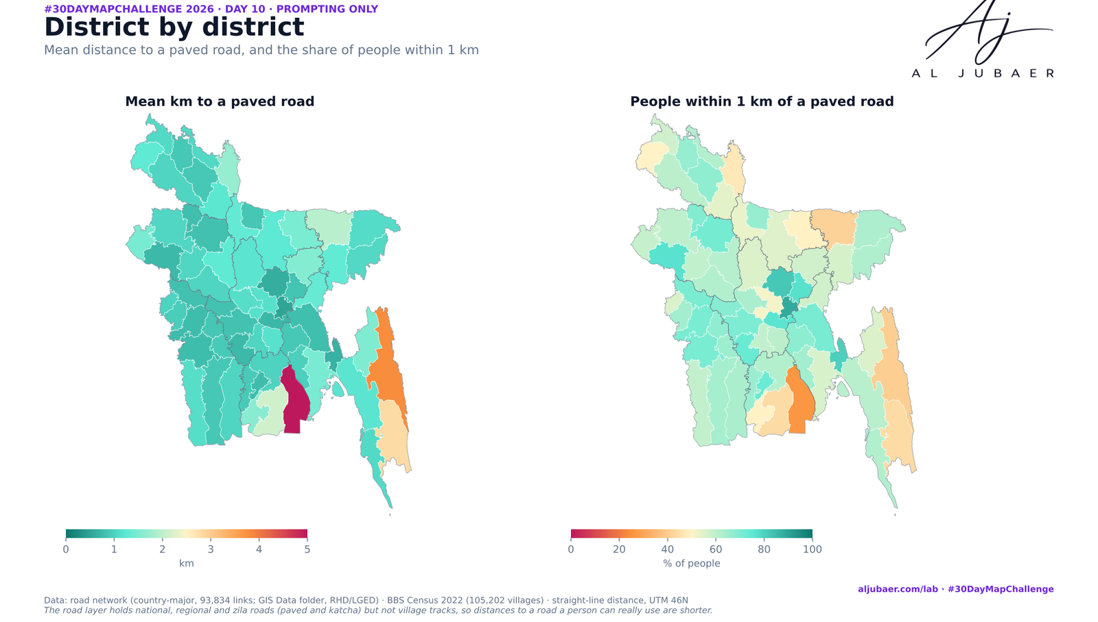
Dhaka — Farthest thanas (median resident): Uttarkhan 2.4 km, Demra 2.2 km, Turag 1.6 km, Khilkhet 1.6 km. Only 4.9% of Uttarkhan residents are within 800 m.
Dhaka — Most people per hospital: Turag (259,110 people for 1 hospital), Hazaribag (200,482), Shah Ali (151,279). The simple city average hides this: crowding is a thana story.
Chattogram — 41.4% of Chattogram residents are within 500 m of a hospital, 60.7% within 800 m (10 minutes on foot) and 93.0% within 2 km. The median resident is 612 m from the nearest hospital; the 90th percentile is 1.8 km.
Chattogram — Adding clinics lifts 800 m cover to 70.1%; pharmacies reach 73.8% of people within 800 m — pharmacies are the first door.
Chattogram — Farthest thanas (median resident): Pahartali 1.6 km, Bayejid Bostami 1.2 km, Chattogram Port 1.2 km, Halishahar 1.2 km. Only 21.1% of Pahartali residents are within 800 m.
Comments & reviews
What you write appears here once it has been approved.
More from the Open Lab
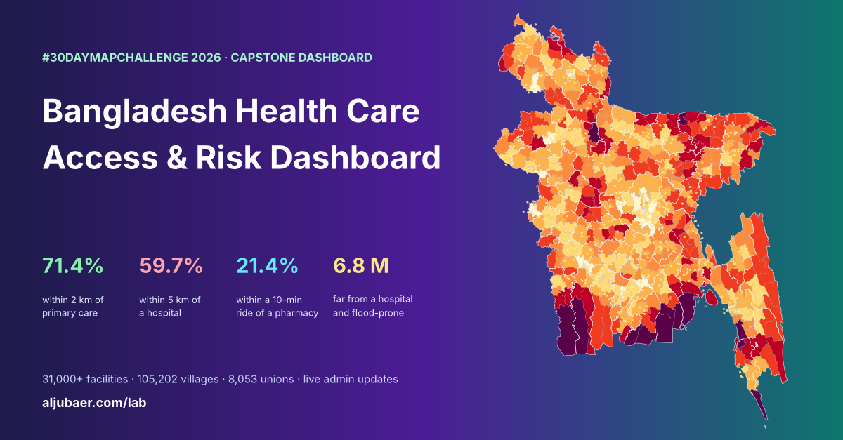 Web map & dashboard
Bangladesh Health Care Access & Risk Dashboard
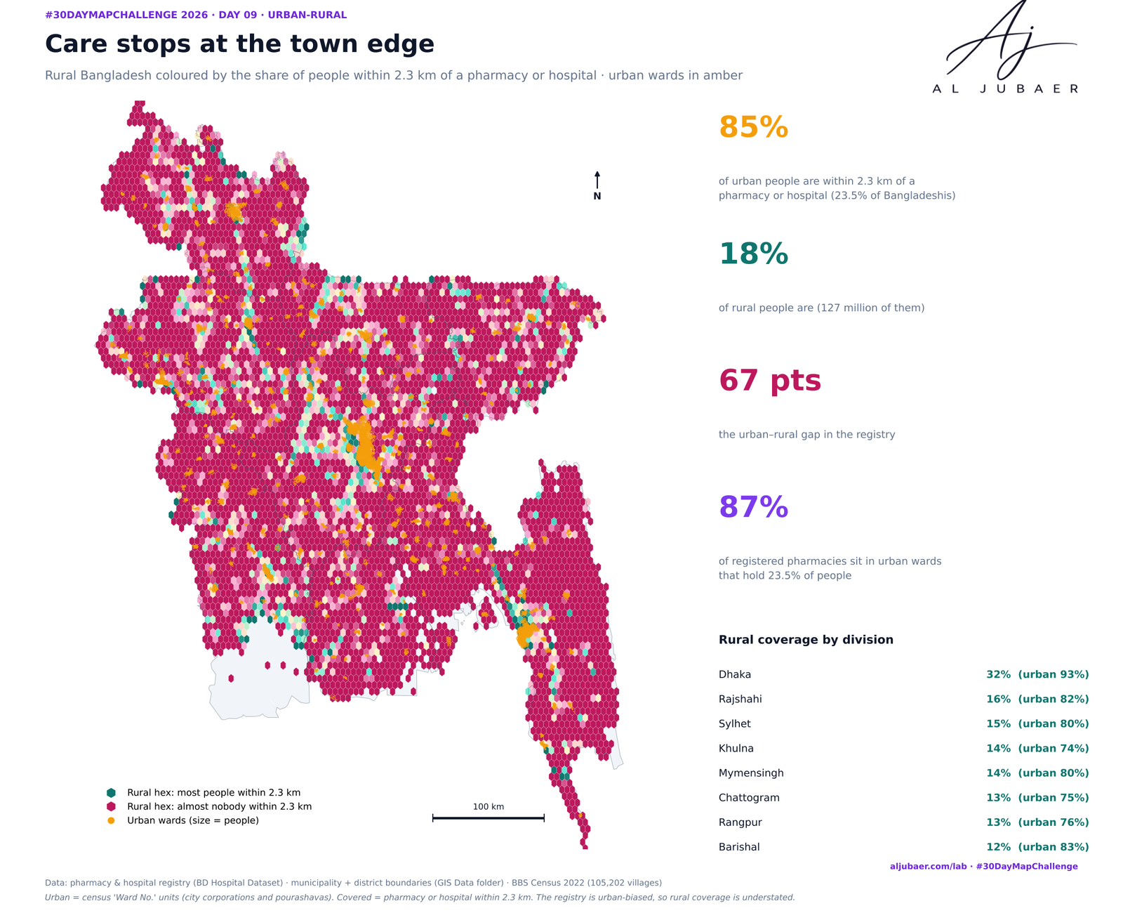 Web map & dashboard
Day 9 · Urban-rural — Care stops at the town edge: the urban–rural gap in access to pharmacies and hospitals
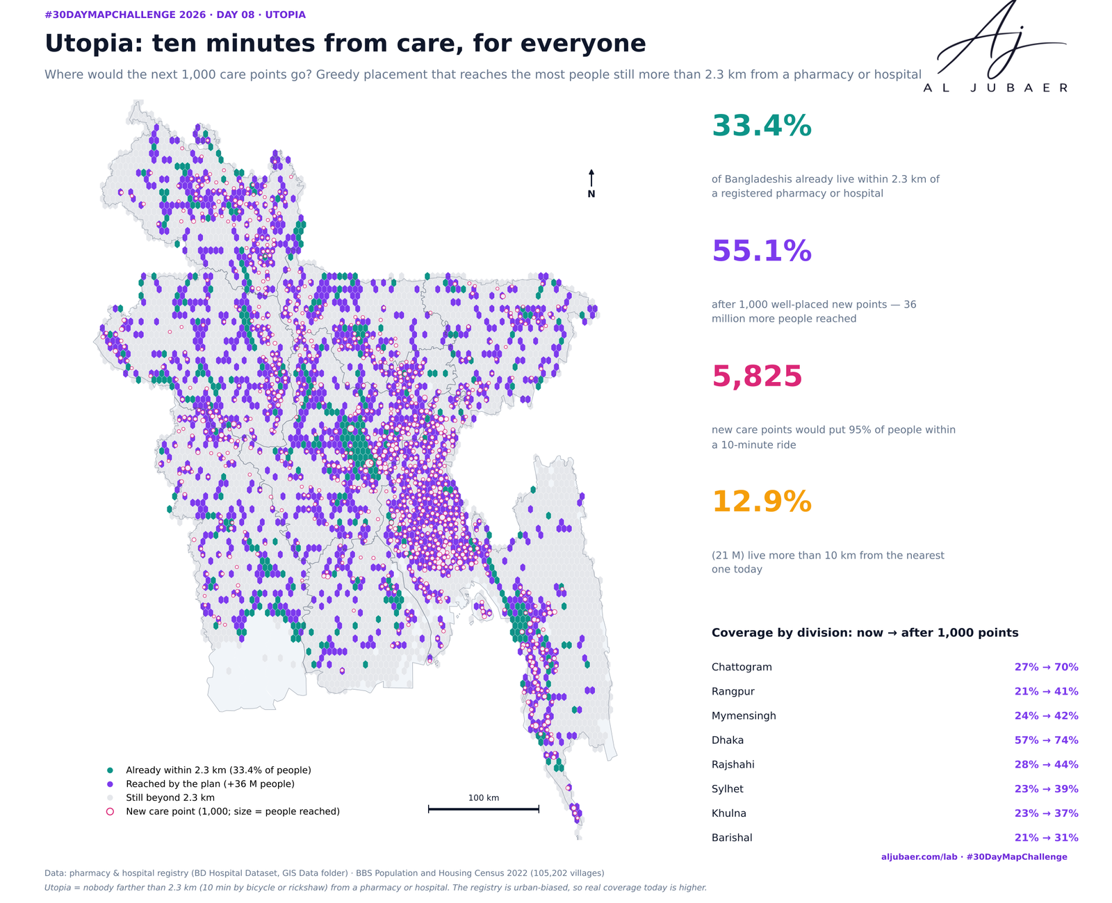 Web map & dashboard
Day 8 · Utopia — Ten minutes from care, for everyone: where the next care points should go
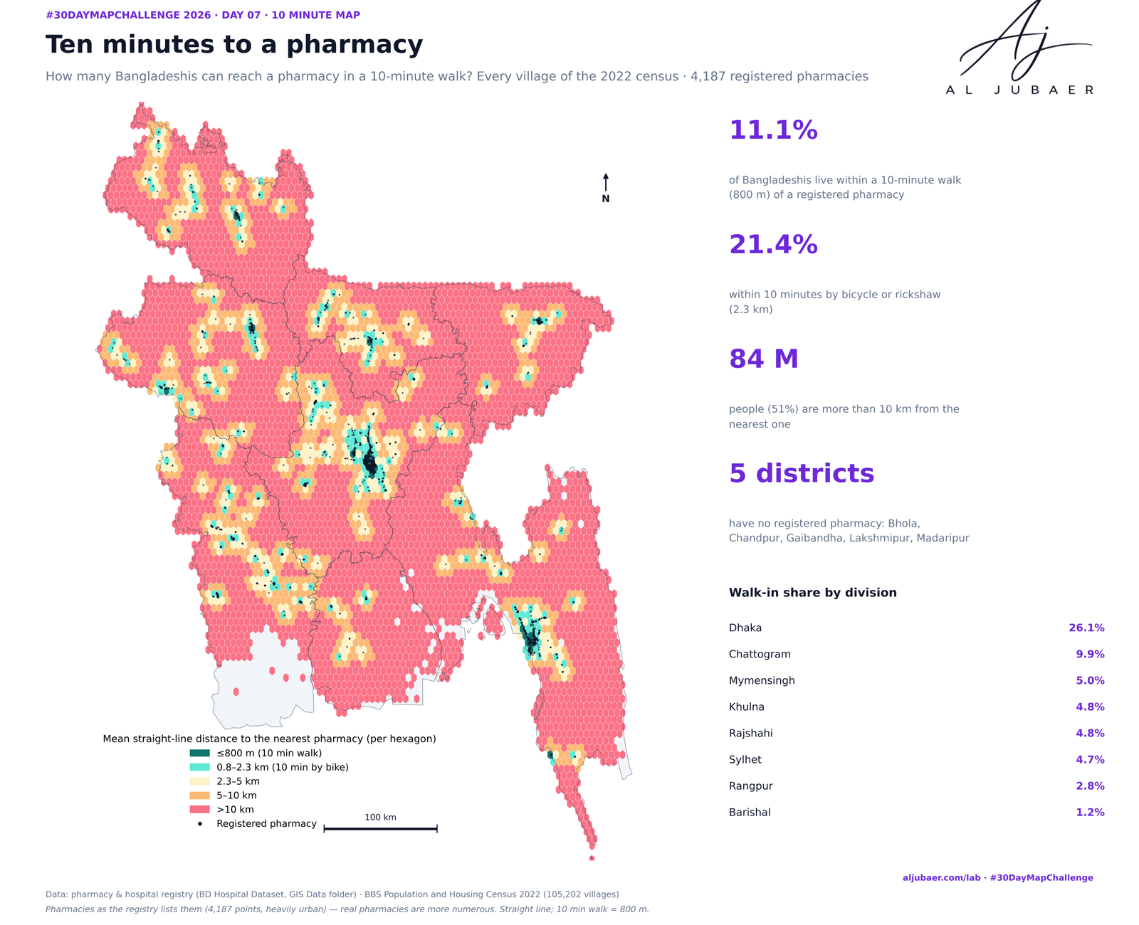 Web map & dashboard
Day 7 · 10 minute map — Ten minutes to a pharmacy: who can walk to medicine?