2025
Publications in Wiley & Springer
Journal article, book chapter and conference paper published.
Dhaka
One place for my whole story: the road from a village in Jashore to icddr,b, every place I have stood on a live map you can drill down from country to union, the photos and maps from each stage, and the people who shaped me.
From the day I was born to today: every chapter, a normal day in it, the people and games, the moments that turned things — and what each of them made of me.
Senior Research Officer at icddr,b: cholera early warning, heat and health at Chakaria.
Journal article, book chapter and conference paper published.
Leading CholOut-EWS — cholera outbreak early warning (Wellcome Trust).
Air-quality research with JU & UIU, then climate-displacement risk with AIT, Bangkok.
Regional climate analysis and web GIS for South & Southeast Asia.
Geospatial and environmental research projects.
Trainer for the International Women's Day special mapathon.
#172 at JU, #9162 in Bangladesh.
Two master's degrees, a decade of trainings taught, mapathon wins and the SERVIR-HKH programme with ICIMOD.
First positions and runners-up across national and regional mapathons.
Ranked #1 in Bangladesh on OpenStreetMap.
Earth observation for the Hindu Kush Himalaya region.
YouthMappers chapter at the Institute of Remote Sensing, JU.
Applied geospatial analytics for clients.
GIS, design and web services studio.
Research support at the Institute of Remote Sensing & GIS.
Geography + computer science: the career's most valuable combination.
Python, machine learning and web development — the technical leap.
120+ page thesis on water resources in southwestern Bangladesh.
Freelance GIS, mapping, data and design work begins.
Thesis on water resources management using GIS.
Geography & Environment at Jahangirnagar. The first GIS lab session changed everything.
Treasurer of Jessore Jela Kalyan Samiti at JU.
Founded a student welfare association for the home village.
Voluntary blood donation with Badhan, Jahangirnagar University unit.
Thematic maps from census data — the world never looked the same again.
Admission test award; the geospatial awakening begins.
Higher secondary at Cantonment College, Jashore: the first move away from home.
Decision made: Geography would be the path forward.
Geography discovered as a lifelong passion.
Second consecutive perfect score; Jashore Board scholarship.
Primary school and Andulia Dakhil Madrasah: PSC, JSC and Dakhil with top grades.
Perfect GPA in the national examination.
Arabic, Quran studies alongside physics, chemistry, mathematics and ICT.
A proud moment for the family and village.
Class 1–5; self-study habits and a first fascination with maps.
Born into a farming family in a Jashore village. Fields, the fish pond and the first letters at the Moktab.
Arabic alphabet, Quran with Tajweed and the discipline of daily learning.
Born into a close-knit family in a village of paddy fields and rivers in Jashore.
Colours show how many places I have been to in each area (darker = more). Grey areas are still on my list. Boundaries: BBS 2022 census maps (India, Nepal, Thailand and unions: geoBoundaries, CC BY 4.0). Places are kept in Admin → Journey → Places; new ones are sorted into their district and upazila automatically.
From my birth to today, step by step in date order — every move and every place I have been, by foot, rickshaw, van, bicycle, auto, bus, train, launch and plane. Press play, or tap a year.

A farming family in a village of paddy fields and rivers.
PSC, JSC and Dakhil with top grades.
The first move away from home.
Geography, GIS and two master's degrees.
SERVIR-HKH earth observation programme.
Risk Index for Climate Displacement with IOM.
Cholera early warning, heat and health at Chakaria.
With more publications on the way.
Public health data meets geospatial AI.
Leading work that joins health data and maps.
Where I come from and who comes after me: grandparents, parents, my generation and the children who carry it on.
55 works on a timeline: when it was made, the topic, the place it studies and the job I was doing at the time.
 2025–now
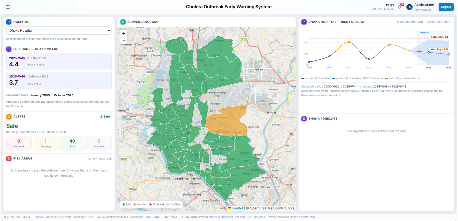
Environmental and hydrological predictors combined into a cholera outbreak early-warning framework.
Zone-level suitability for sixteen crops, matched to administrative geography and queryable by district and upazila.
Feasibility and replicability assessment for a climate innovation intervention.
 2023
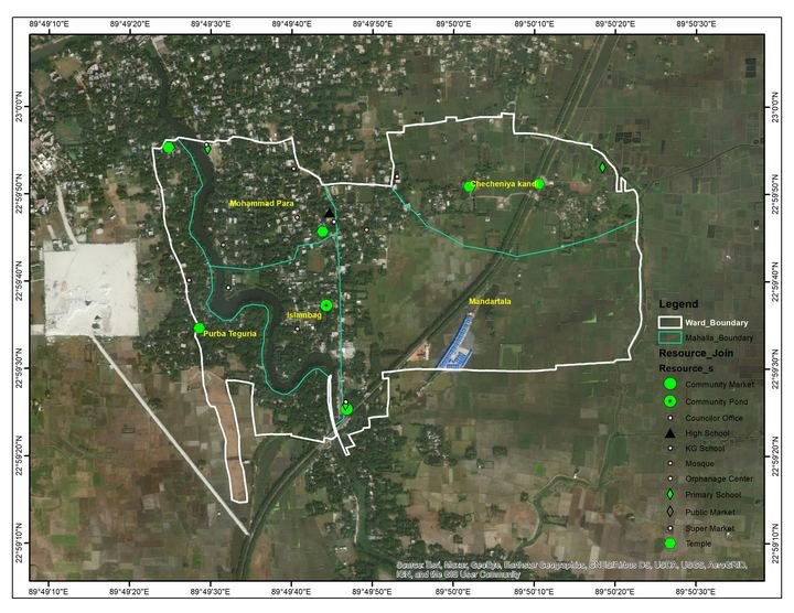
Map work for a Microcredit Regulatory Authority (MRA) study.
 2023
 2023
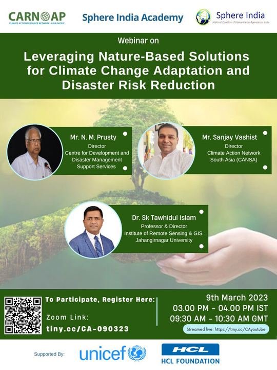
Design work for the Climate Action Resources Network – Asia Pacific.
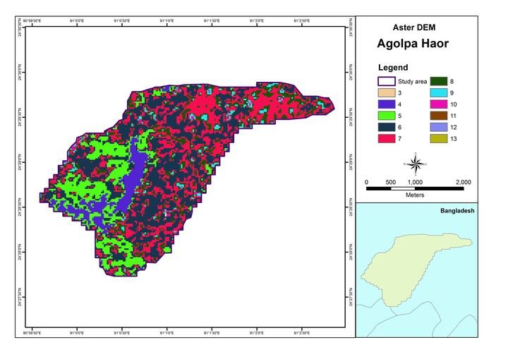 2023
Draft from Google Drive: add the year, place, pictures and what I did.
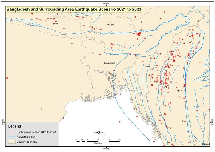 2023
Draft from Google Drive: add the year, place, pictures and what I did.
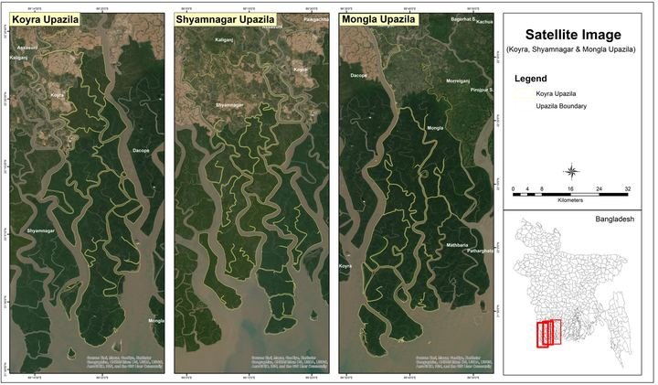 2022
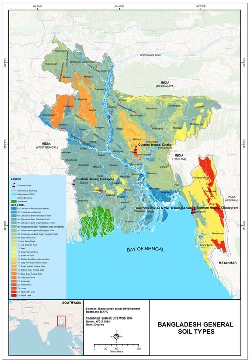 2022
Draft from Google Drive: add the year, place, pictures and what I did.
 2021–2023
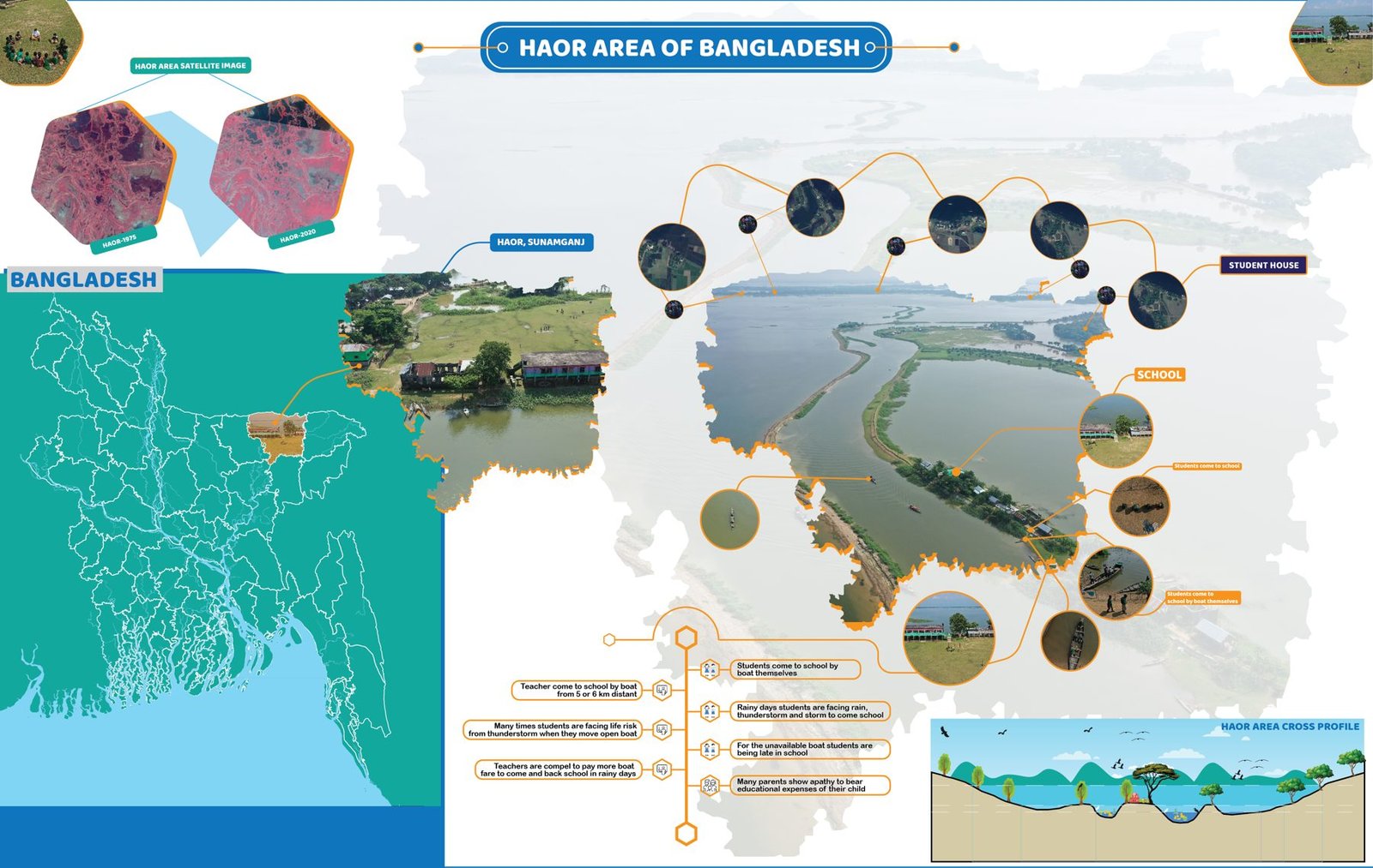
Infographic map of the haor wetlands of north-eastern Bangladesh.
 2021–2023
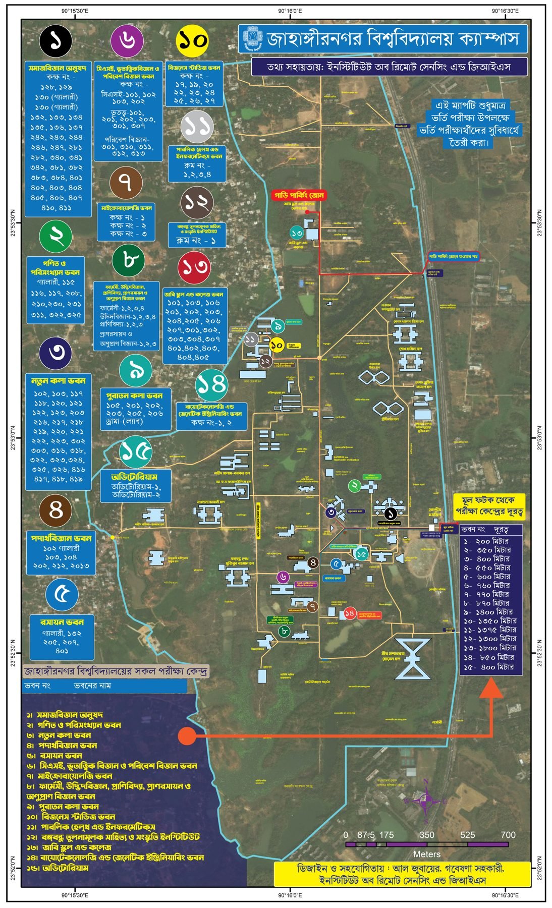
Bilingual campus map of Jahangirnagar University with halls, departments and landmarks.
 2021
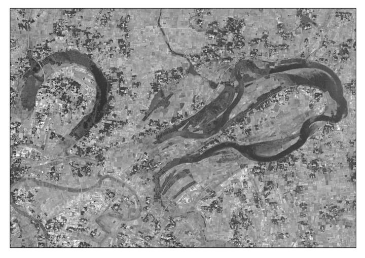
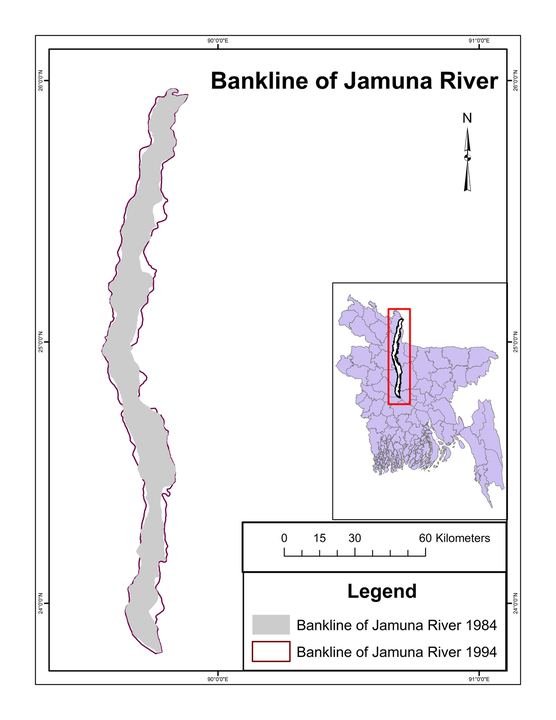
River-change maps (1972 and 2021, Rajarhat Union) for Jamuna TV, with a TV interview on rivers.
 2021
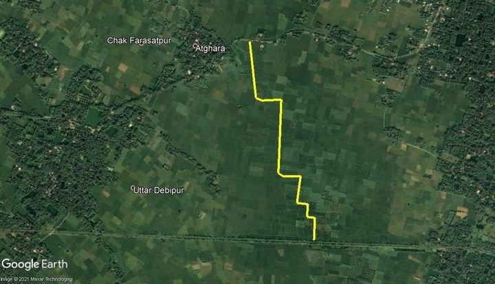
Land-use change maps of Basirhat Municipality (2000, 2010, 2020) for PRISM India.
 2021
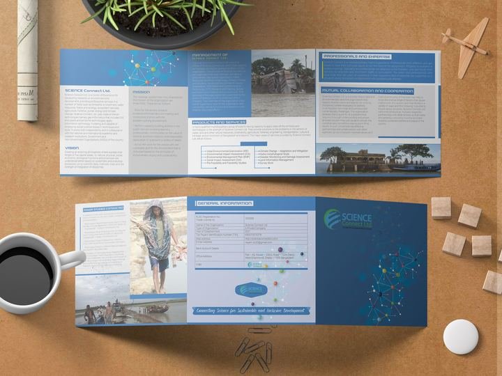
Brand and publication design for Science Connect Ltd.
 2021
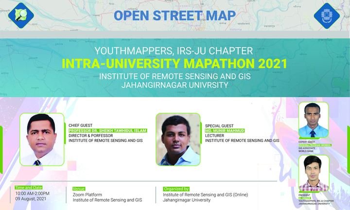
Mapathon banners and disaster-risk mapping events with YouthMappers at IRS.
 2021
Draft from Google Drive: add the year, place, pictures and what I did.
 2021
Draft from Google Drive: add the year, place, pictures and what I did.
 2021
Draft from Google Drive: add the year, place, pictures and what I did.
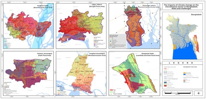
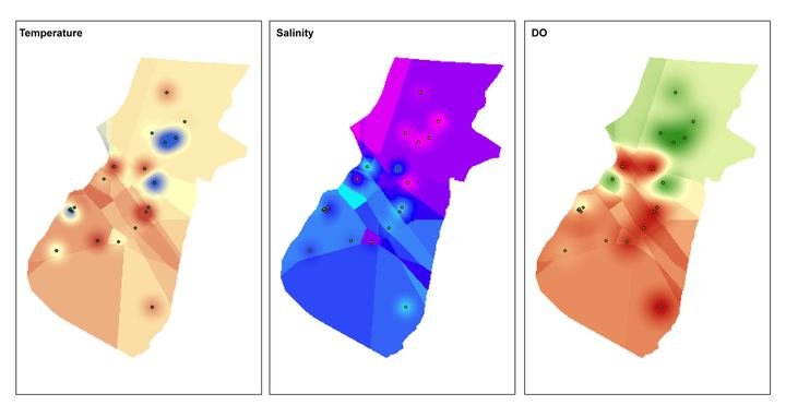
Spatial exposure analysis of microfinance operations to climate hazards.
 2020–2021
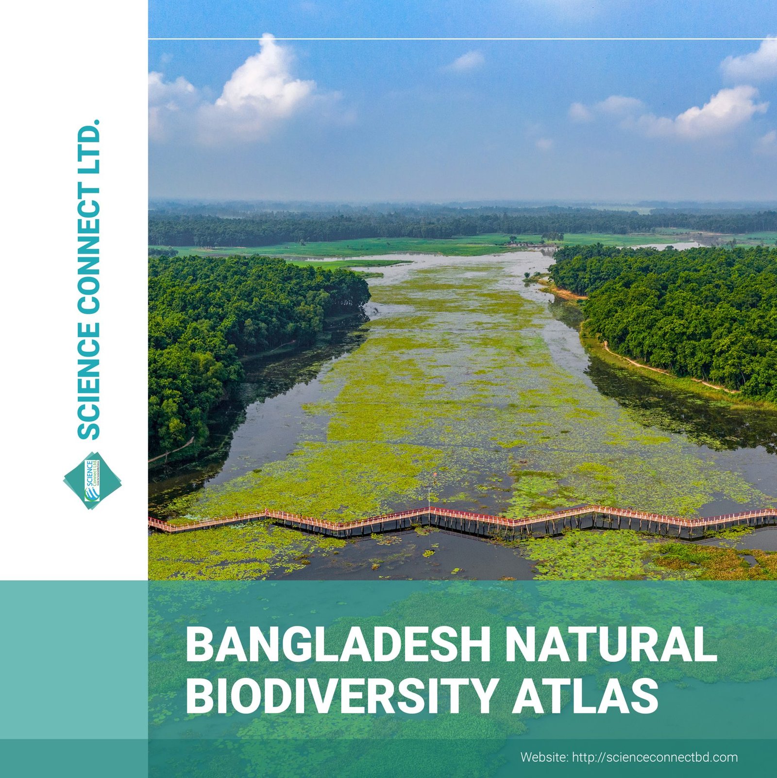
Cartographic design and page layout for a national biodiversity atlas.
 2020–2021
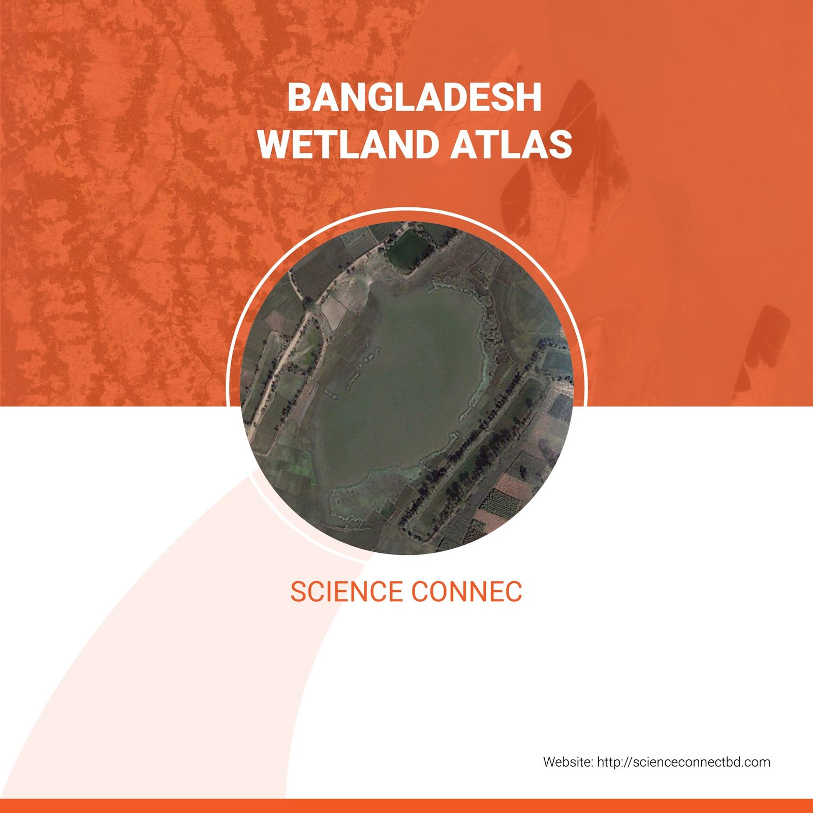
Map series, figure design and full layout for a national wetland atlas.
 2020–2021
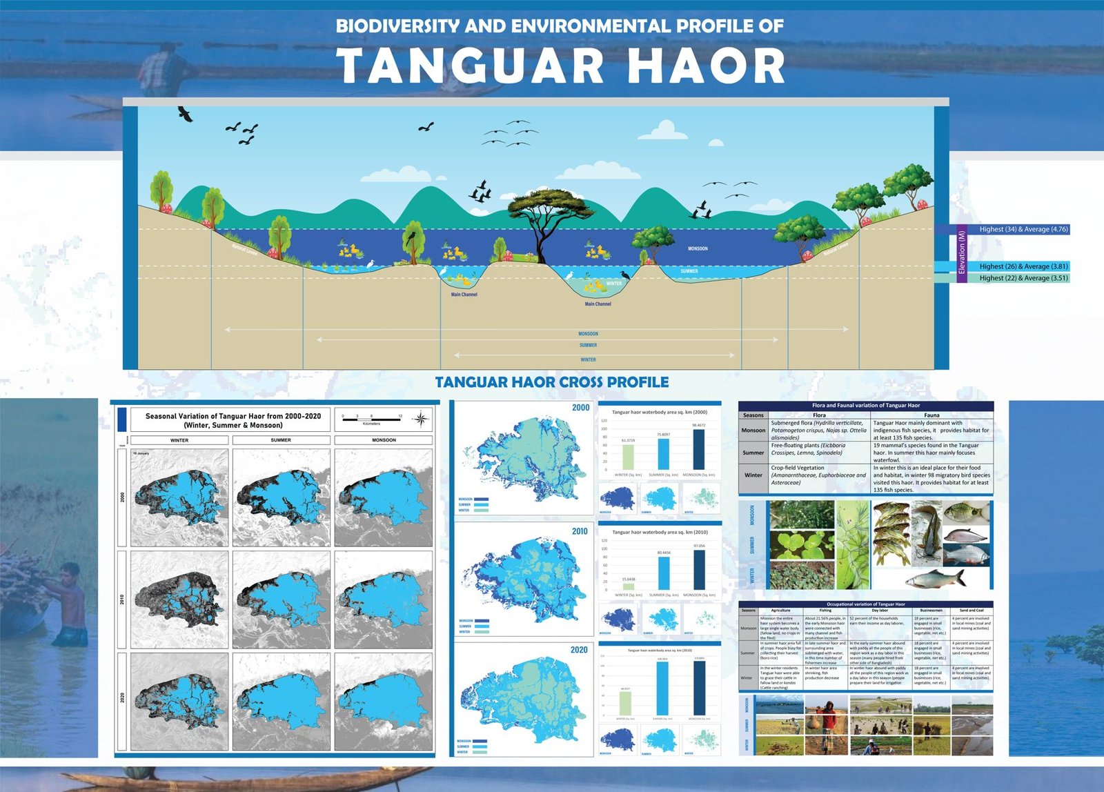
Infographic poster combining the haor cross profile, seasonal maps and biodiversity facts.
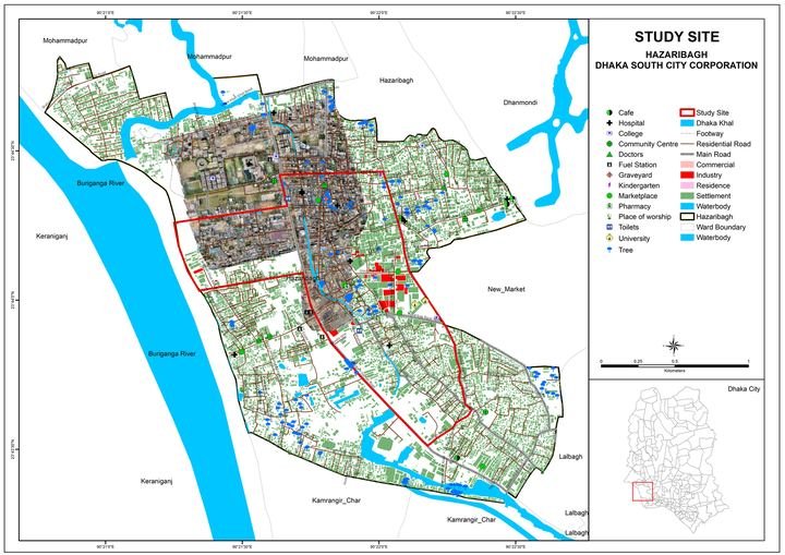 2020–2021
Mapping and spatial analysis contribution to a multi-country action research programme.
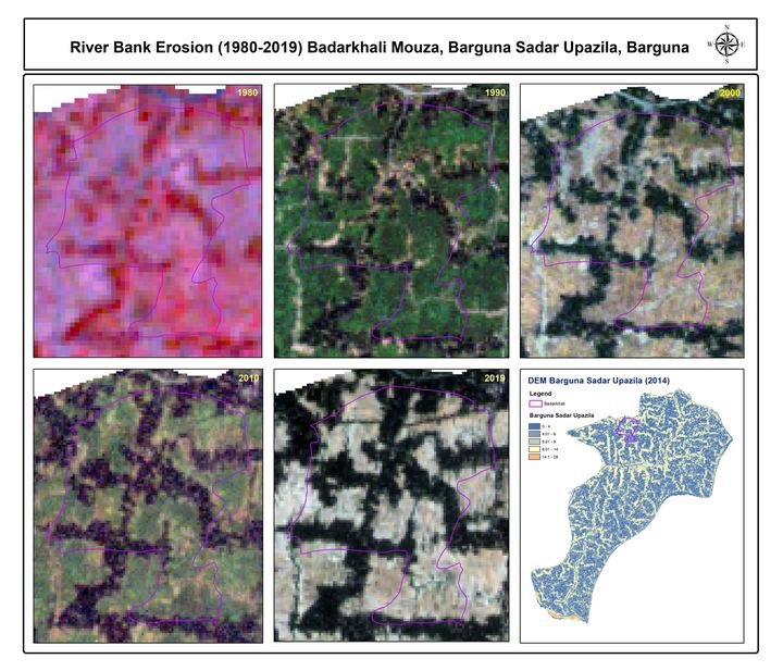 2020
River-bank erosion (1980–2019), base, elevation and stream-network maps for coastal mouzas such as Badarkhali (Barguna), Bara Baisdia, Char Gazi and …
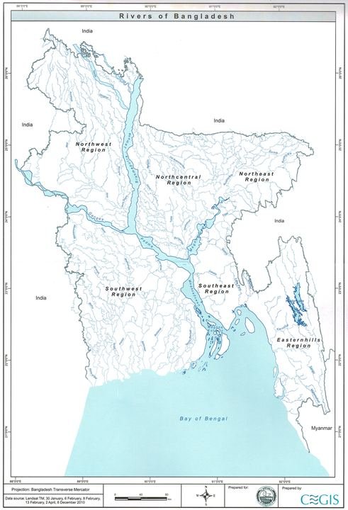 2020
A collection of thematic maps: Dhaka and Kathmandu city maps, forest, hazard-zone, industry and regional maps.
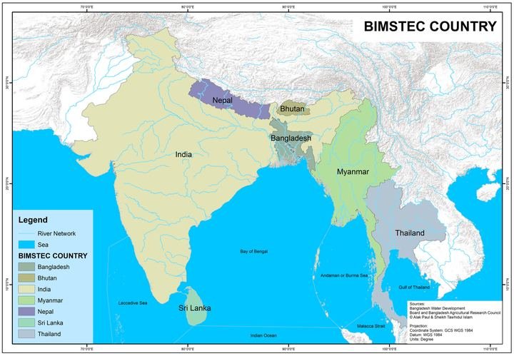 2020
Maps for a geography book: BIMSTEC countries, climate zones and regions, and the maritime exclusive economic zone.
 2020
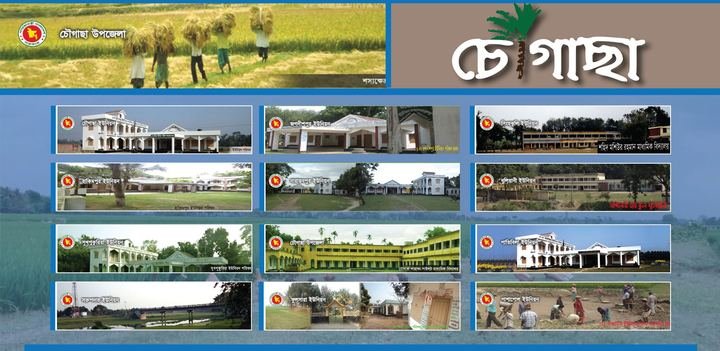
Maps and designs for the Chougachha community, my home upazila.
 2020
Draft from Google Drive: add the year, place, pictures and what I did.
 2020
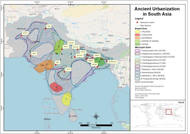
Draft from Google Drive: add the year, place, pictures and what I did.
Community-collected observations integrated with satellite data to improve local flood vulnerability mapping.
 2019–2020
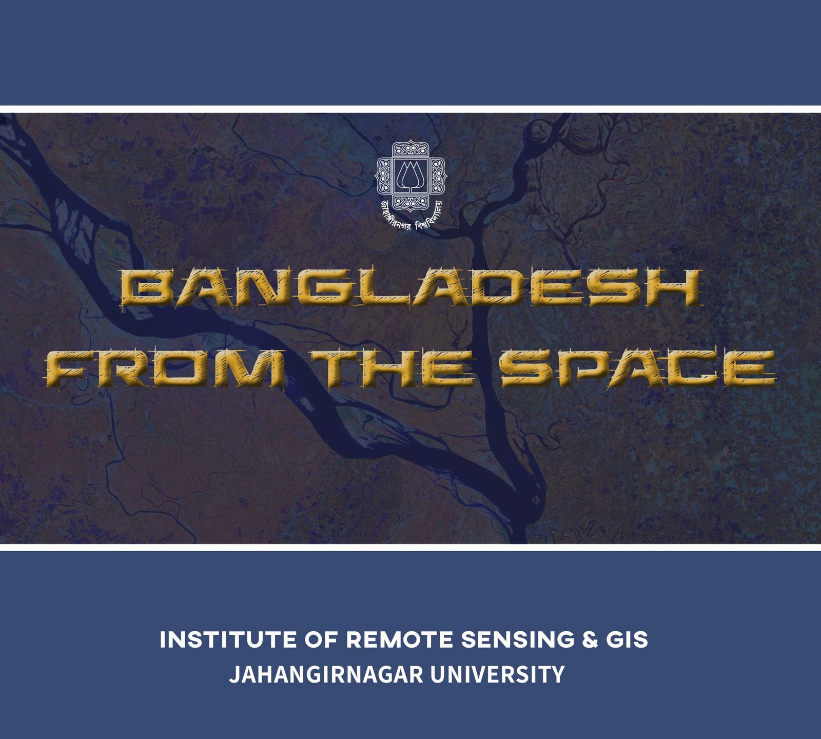
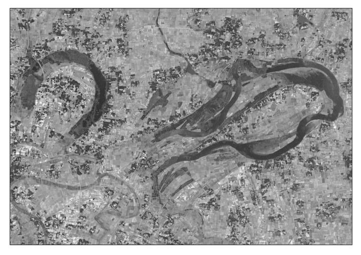
Satellite-imagery publication: image selection, colour treatment, layout and production.
 2019
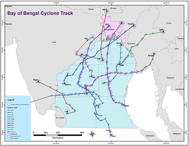
Atlas pages, maps, infographics, posters, brochures and report covers designed for the Institute of Remote Sensing and GIS.
 2018
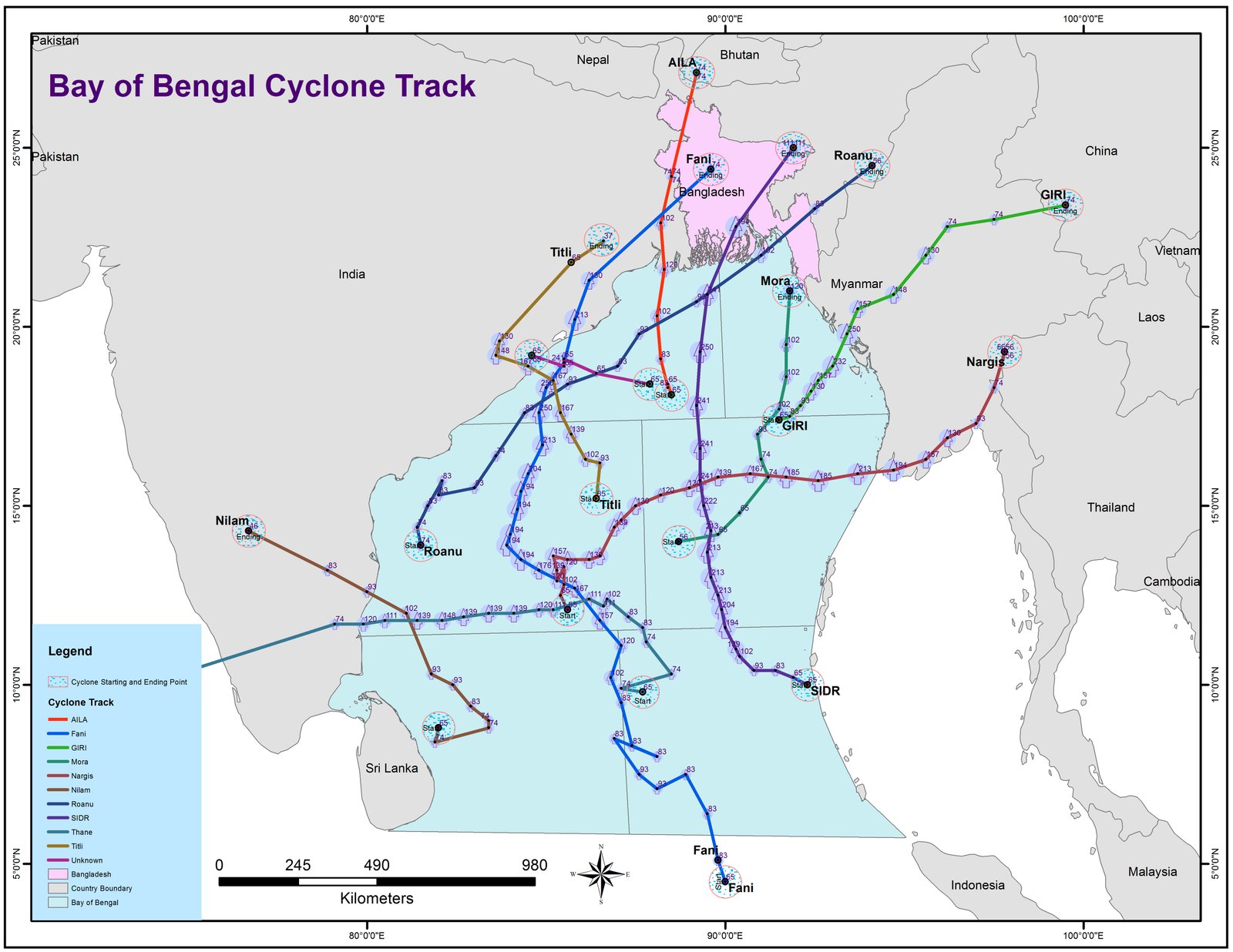
Two decades of satellite-derived sea surface temperature analysed for spatial and seasonal pattern.
 2017
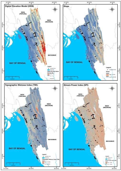
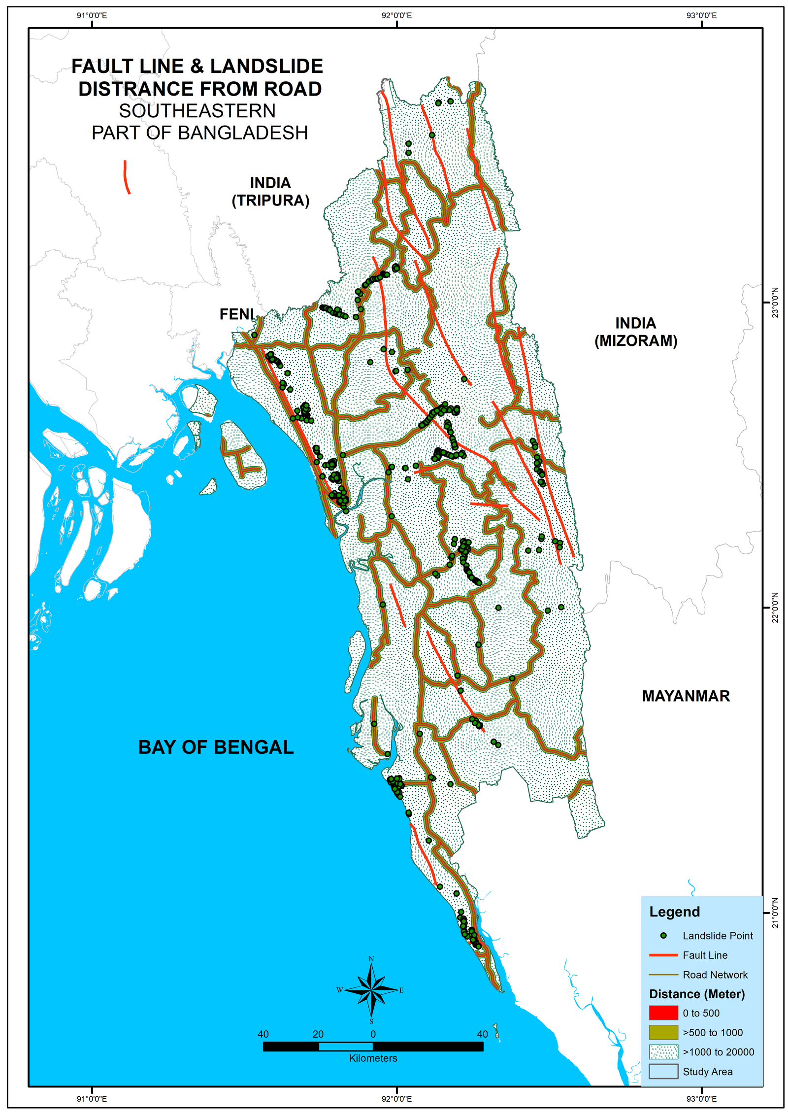
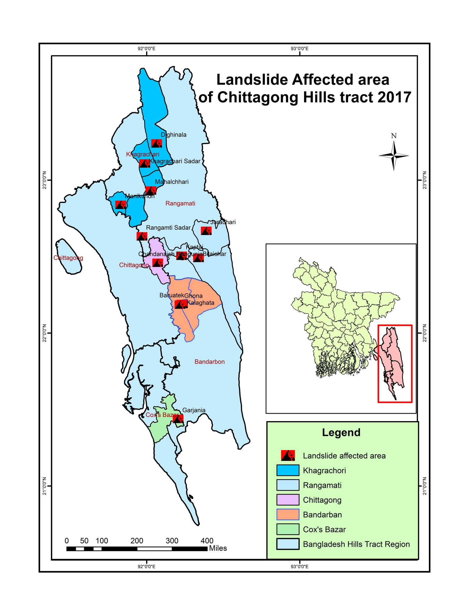
Post-event assessment of the 2017 landslide episode in the southeastern hill districts.
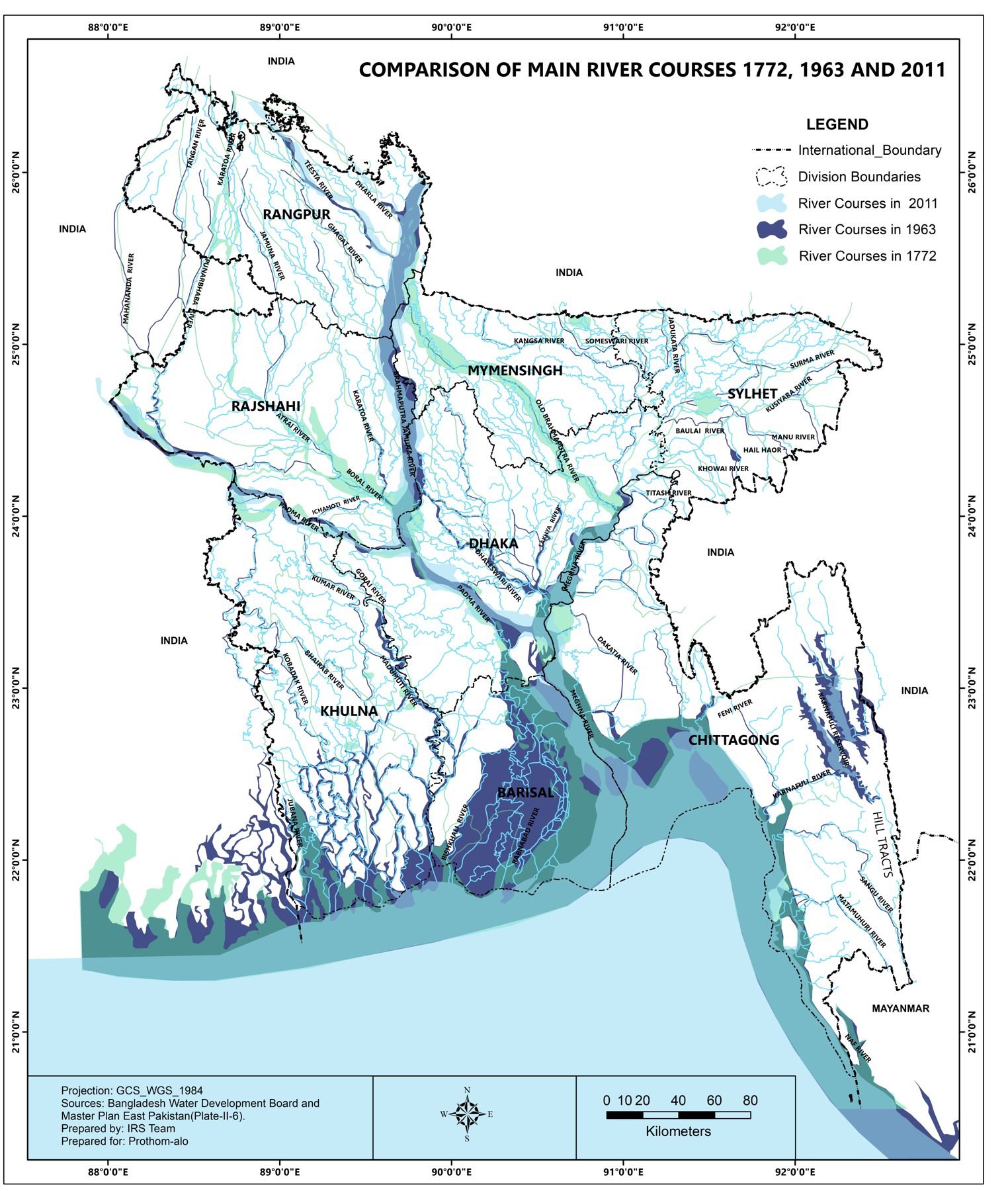
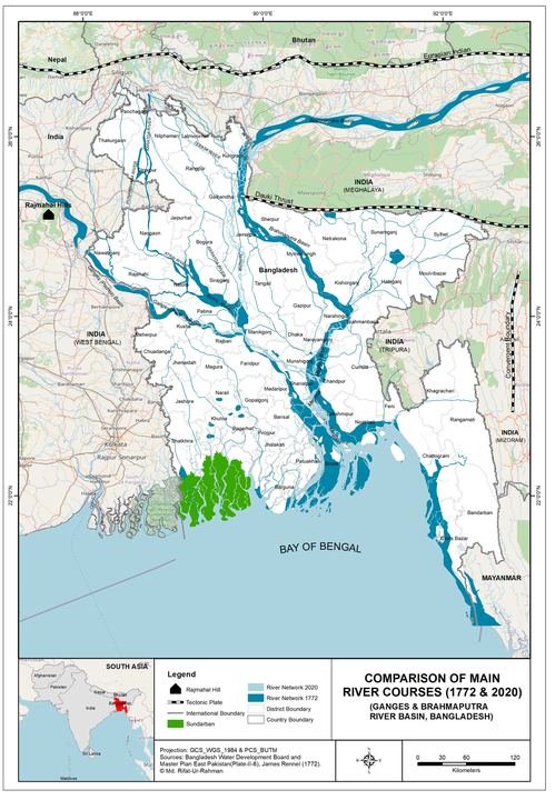
Comparison map of the main river courses of Bangladesh across three centuries.
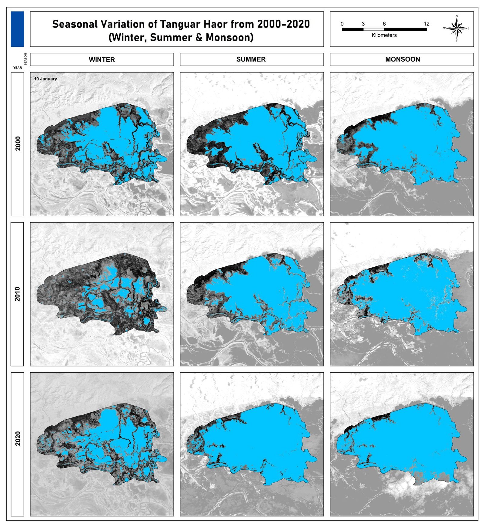
Winter, summer and monsoon water extent of Tanguar Haor from satellite imagery, 2000–2020.
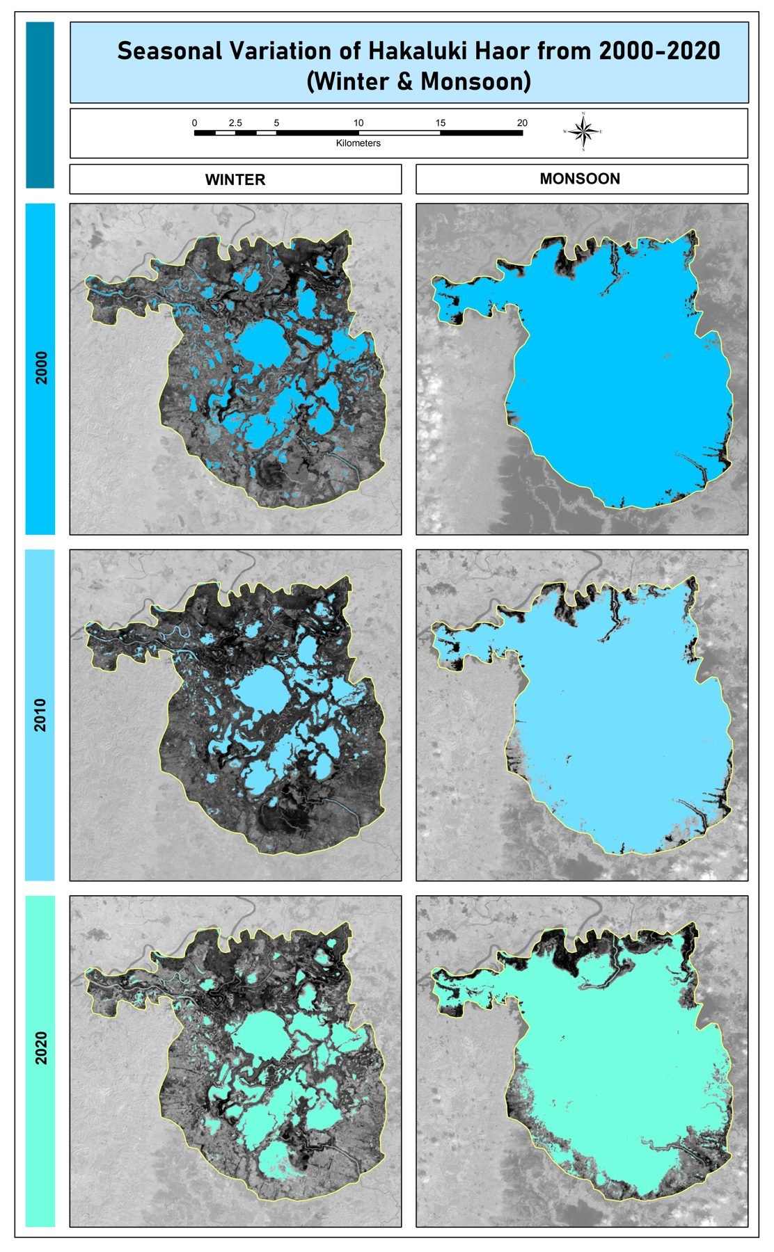
Winter and monsoon water extent of Hakaluki Haor from satellite imagery, 2000–2020.
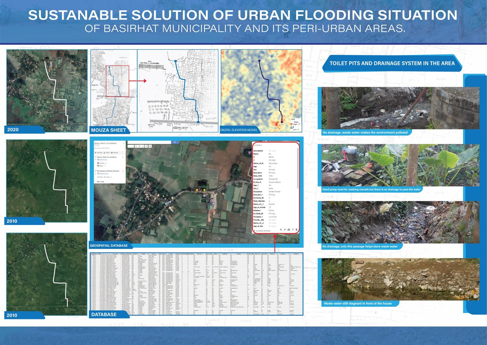
Poster on waterlogging, drainage and sustainable solutions for Basirhat Municipality and its peri-urban areas.
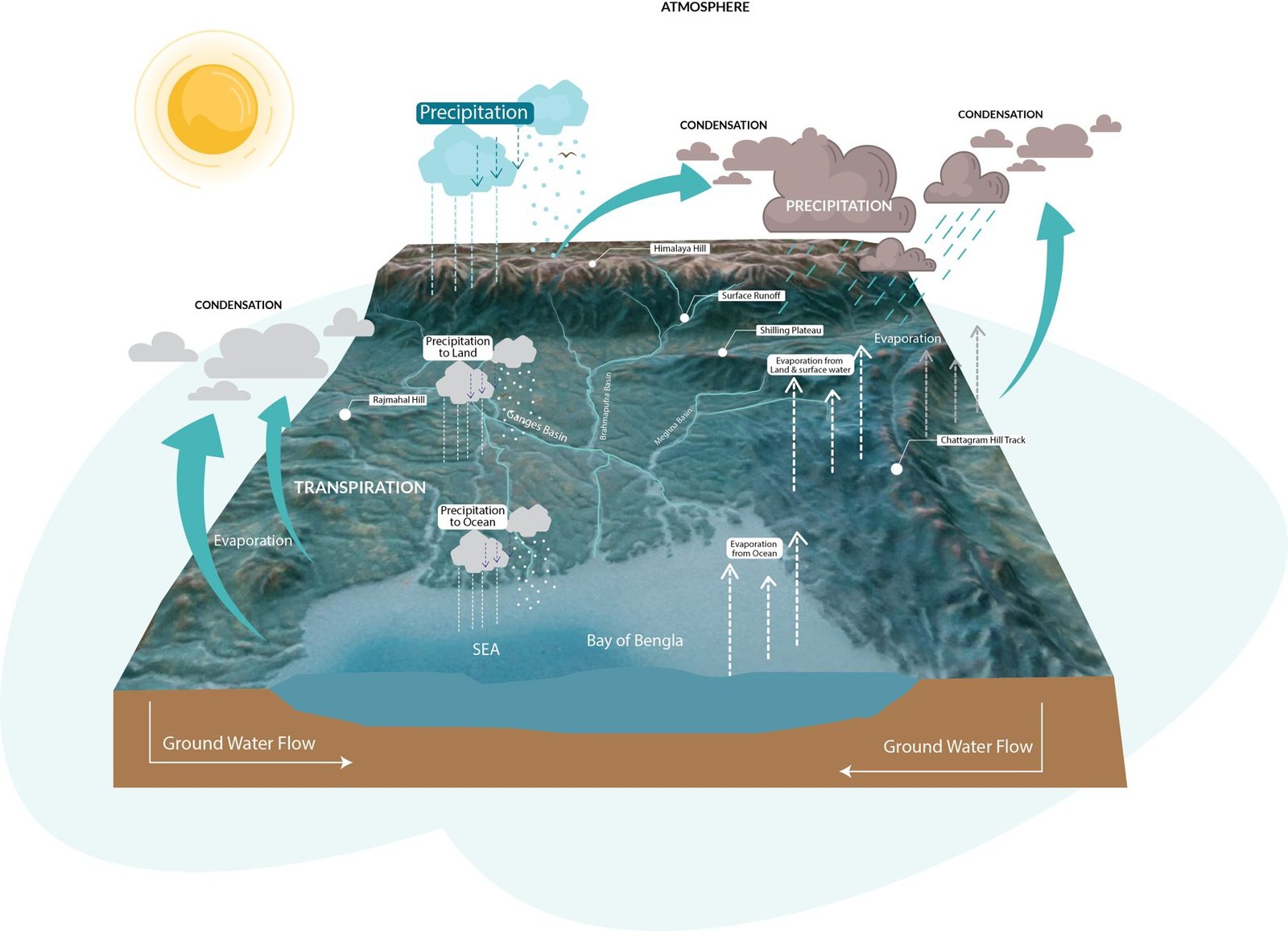
3D infographic of precipitation, run-off and groundwater flow towards the Bay of Bengal.
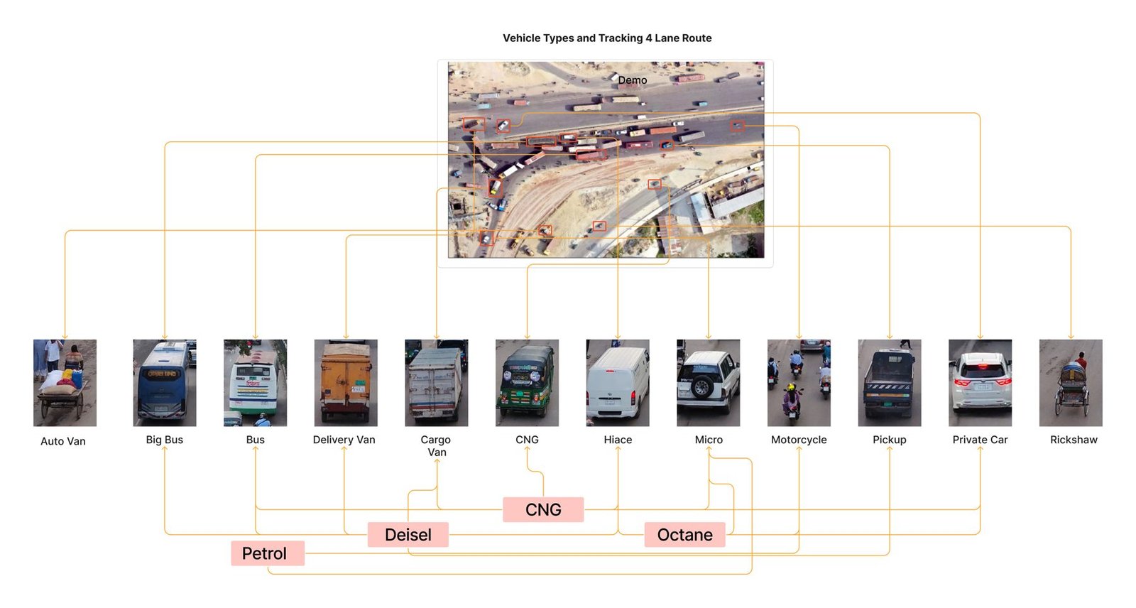
Infographic of vehicle types and fuel use (CNG, diesel, petrol, octane) for a road air-quality study.
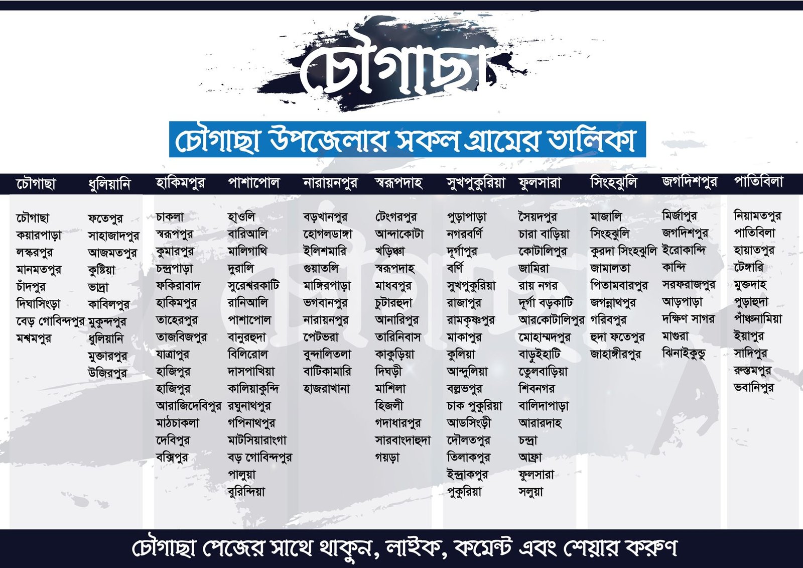
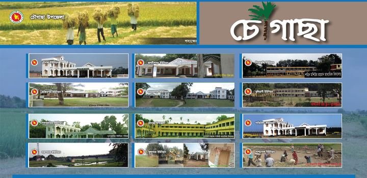
Bangla infographic listing every village of Chougachha Upazila, Jashore, by union: my home upazila.
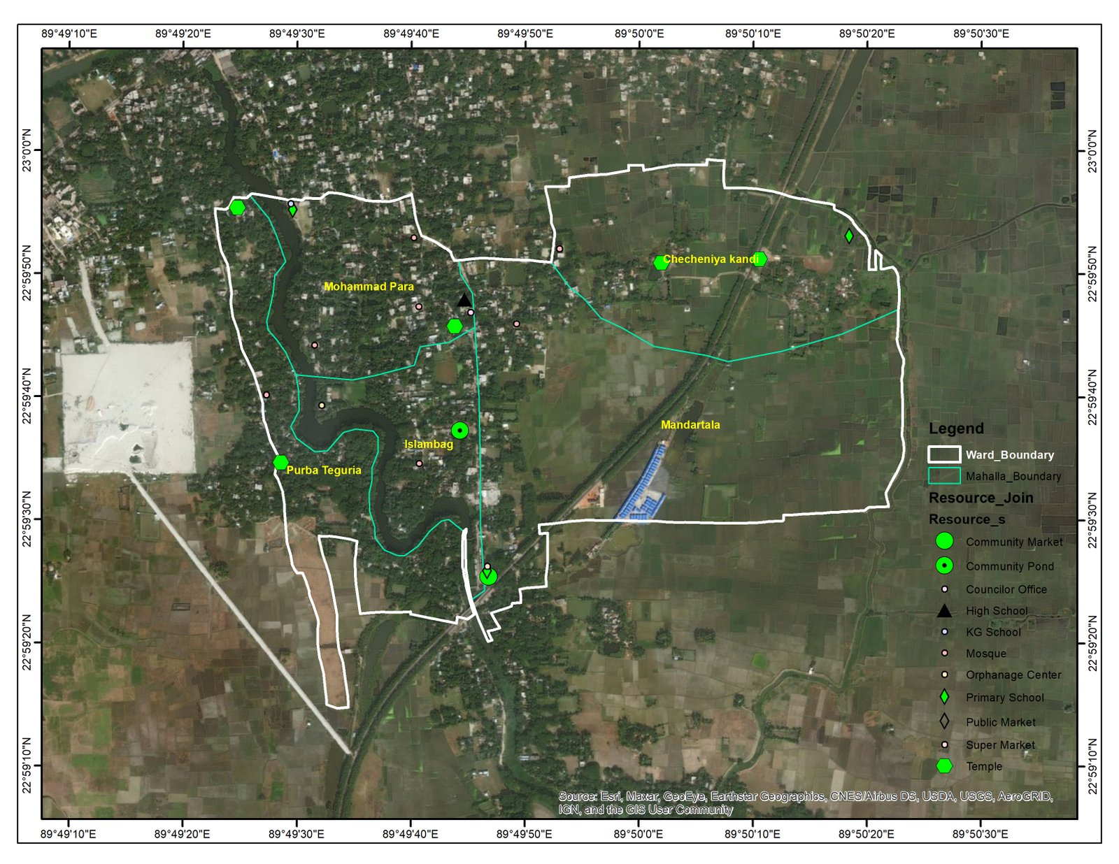
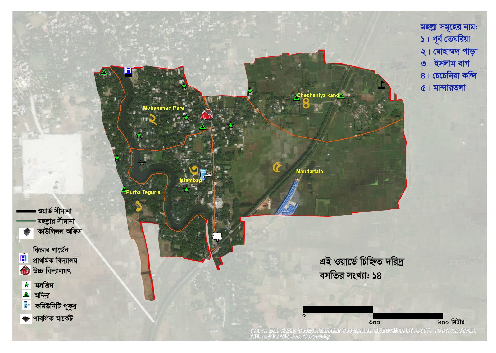
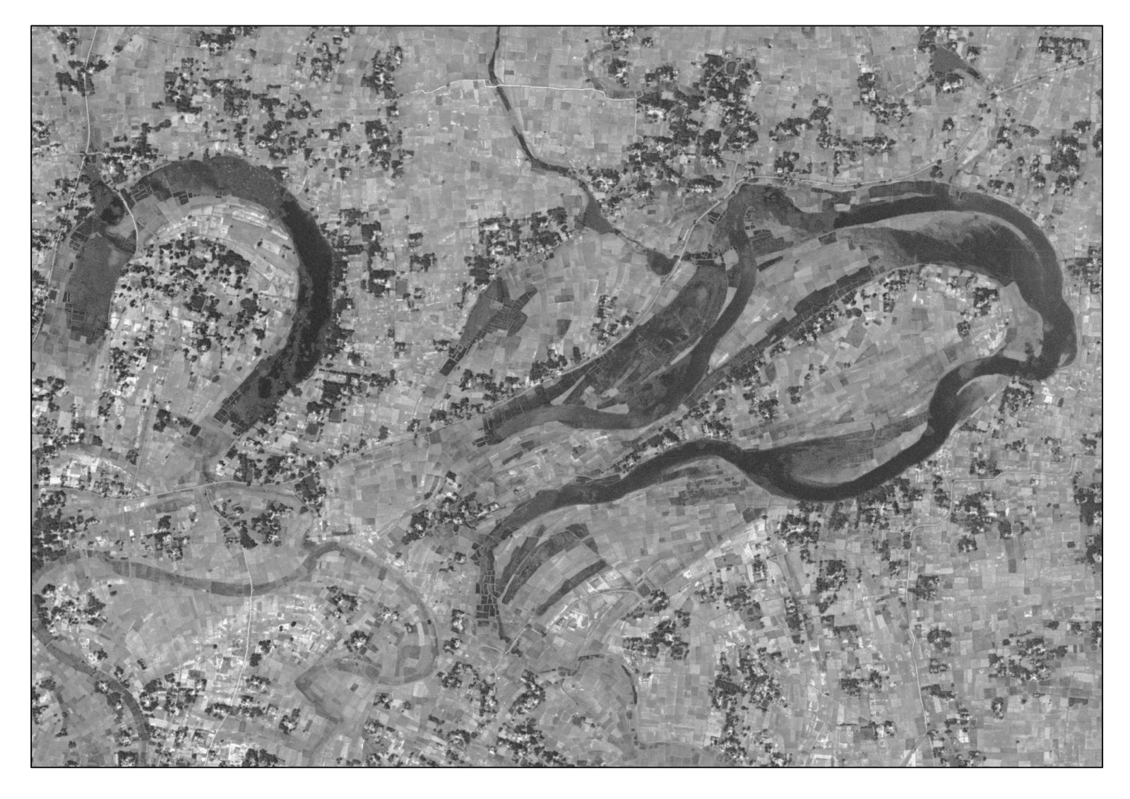
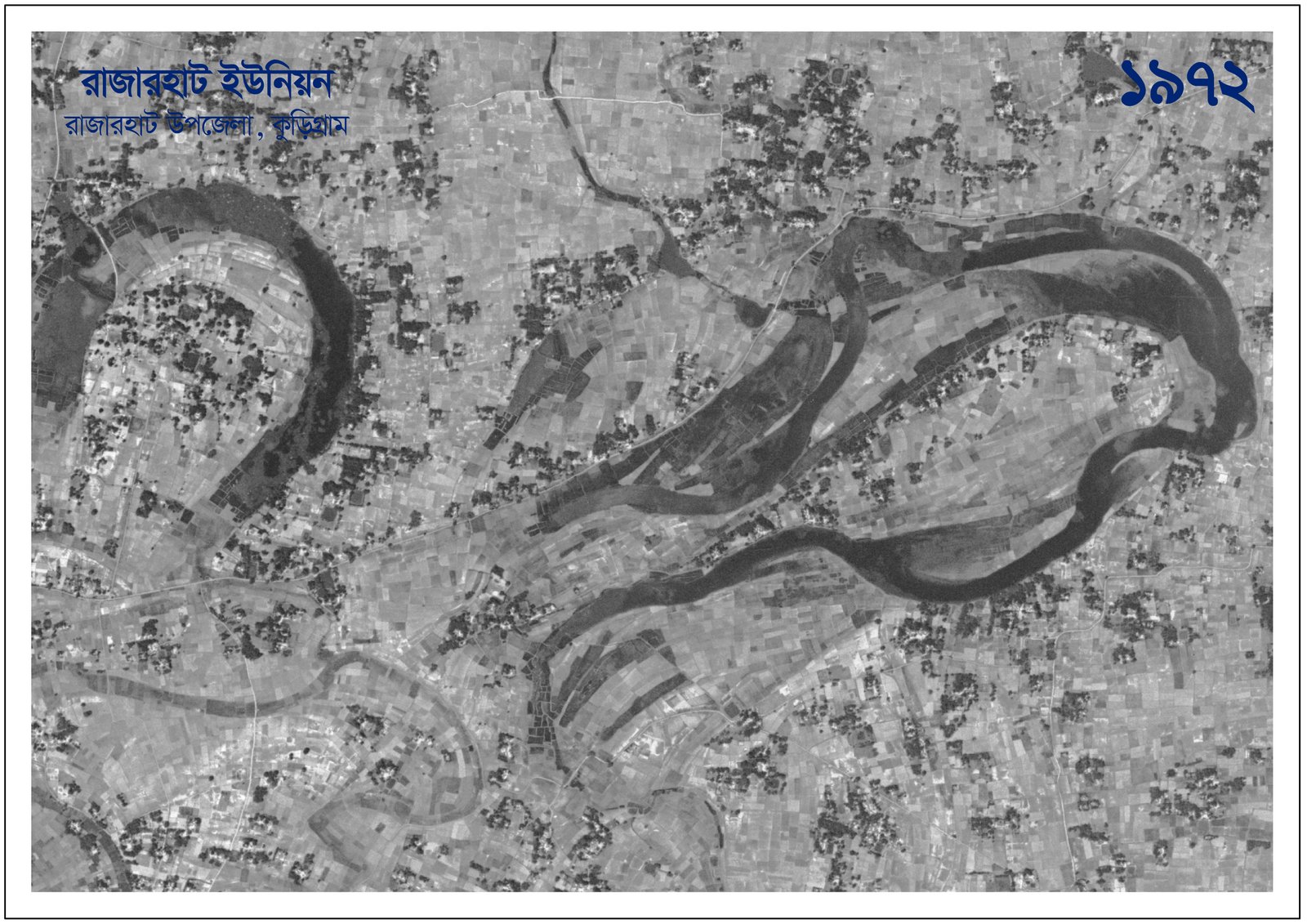
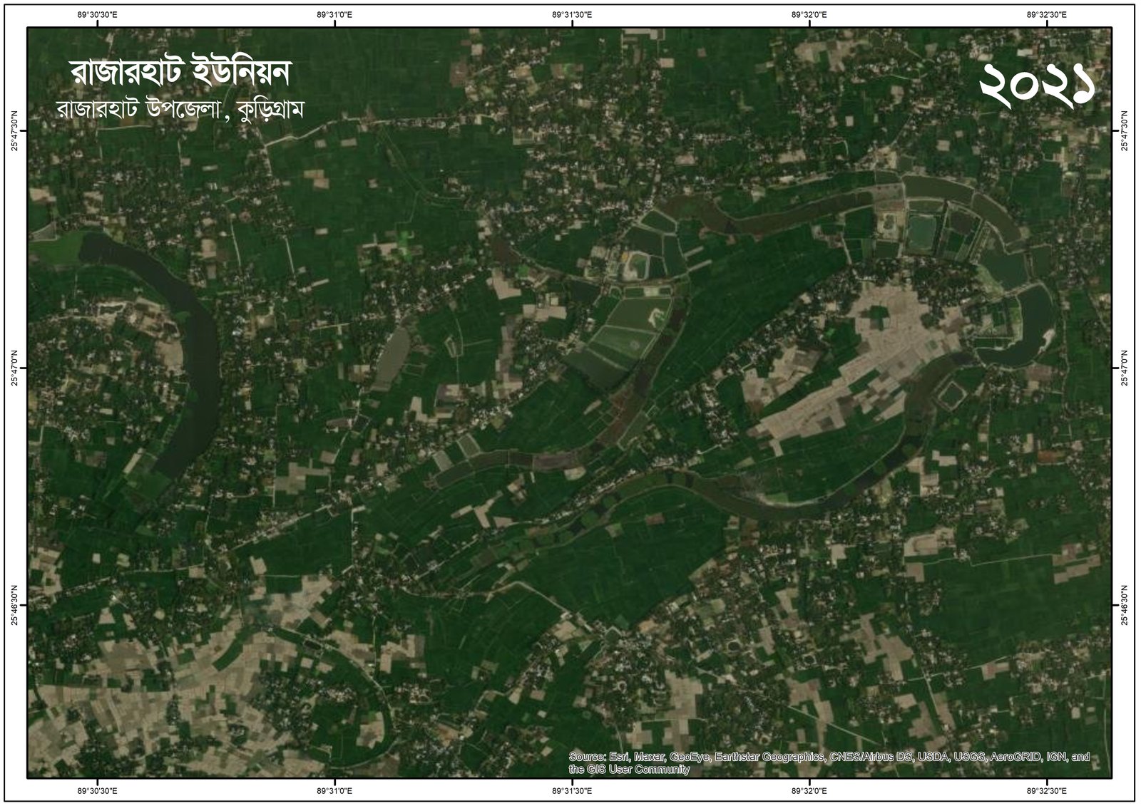
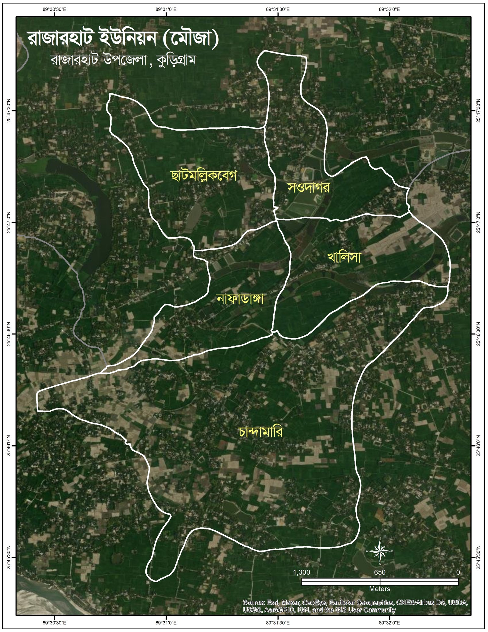
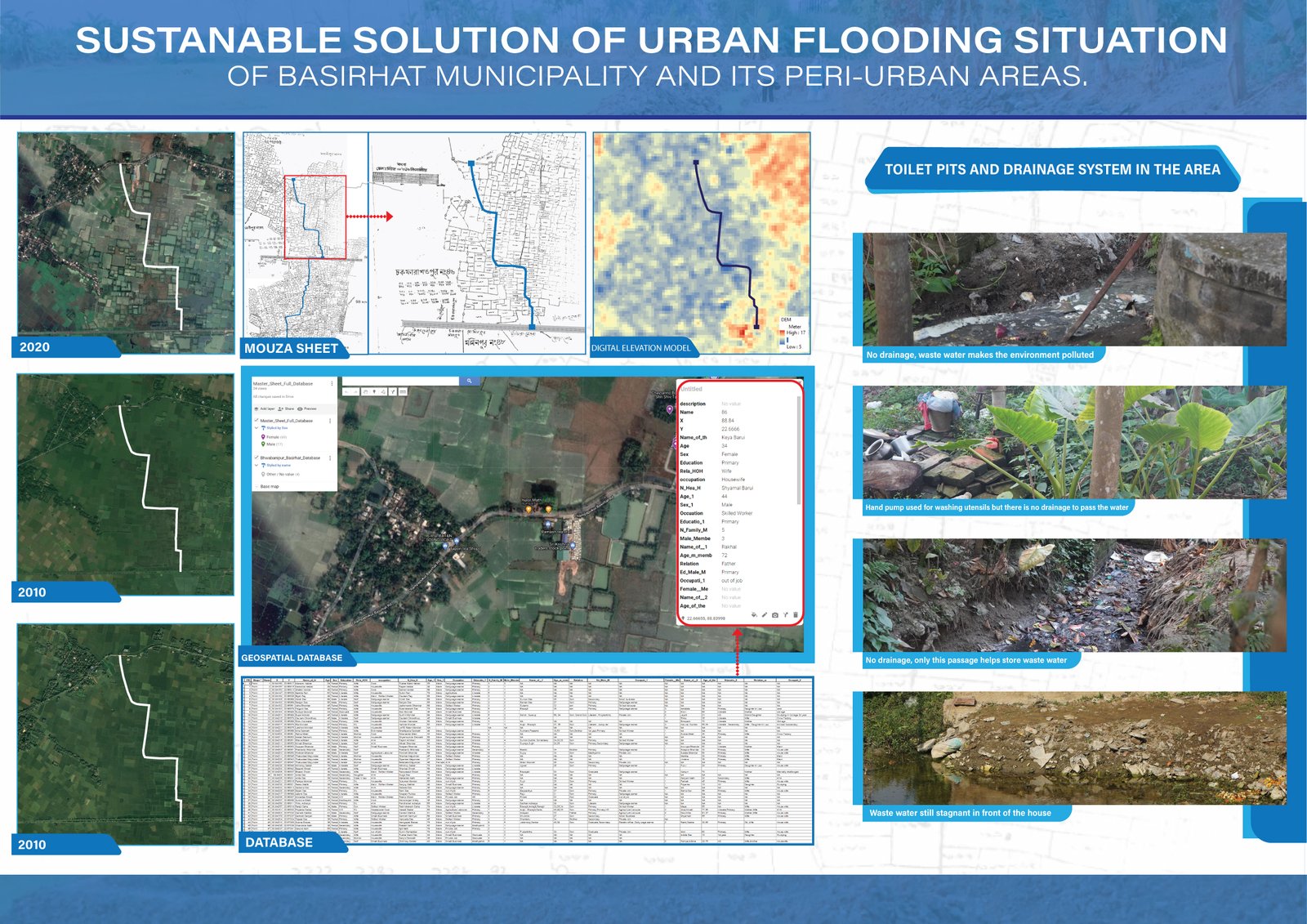
Photo uploaded successfully
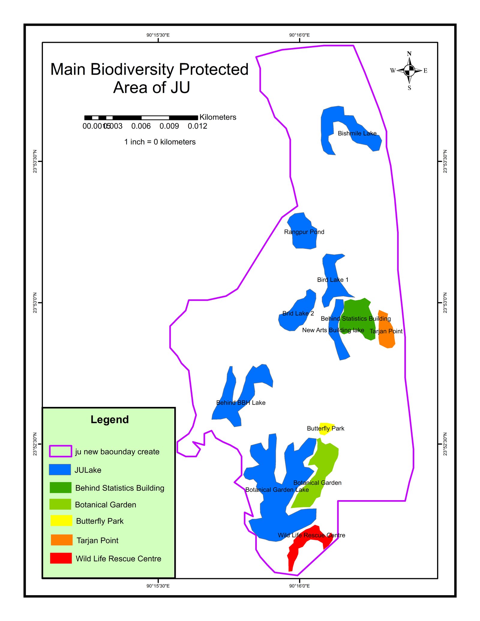
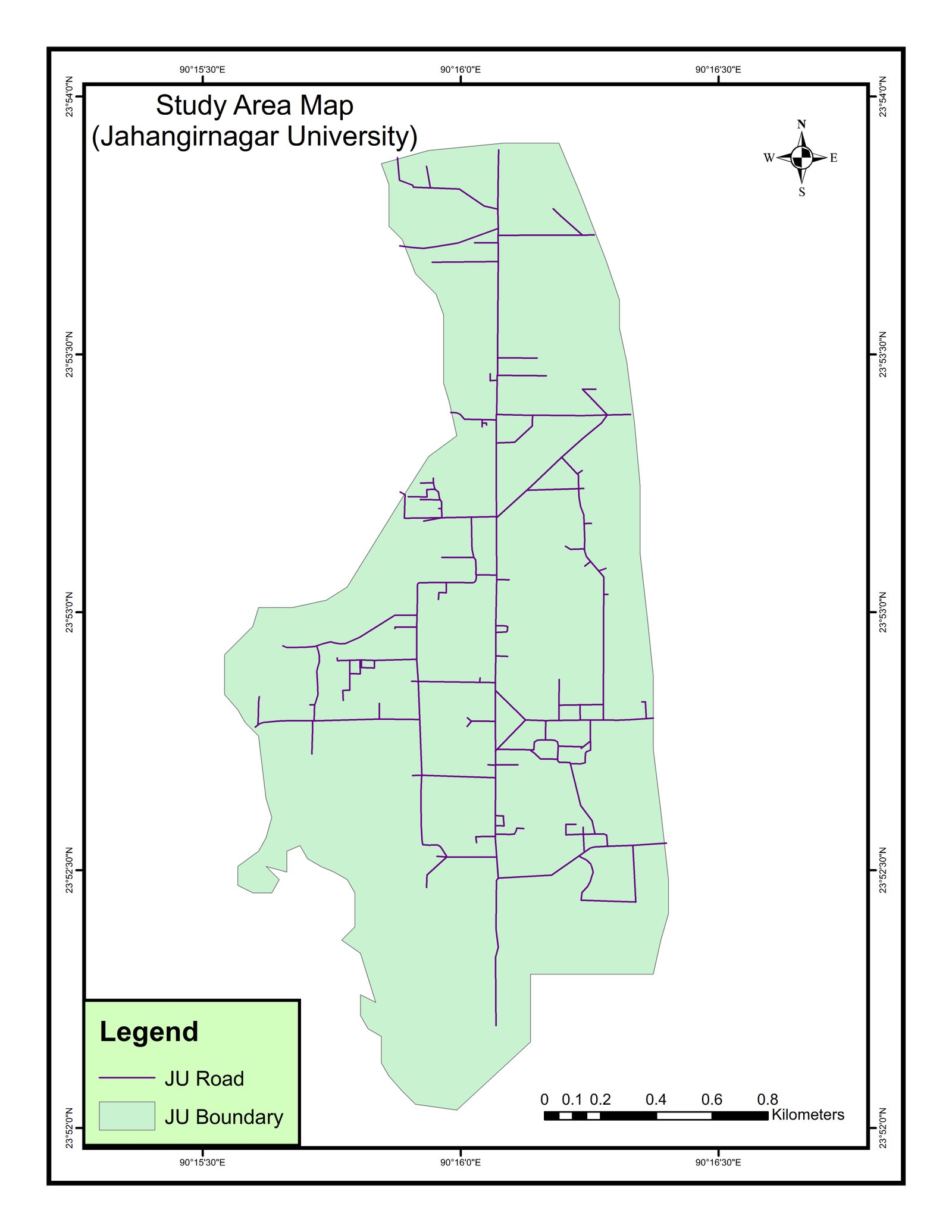
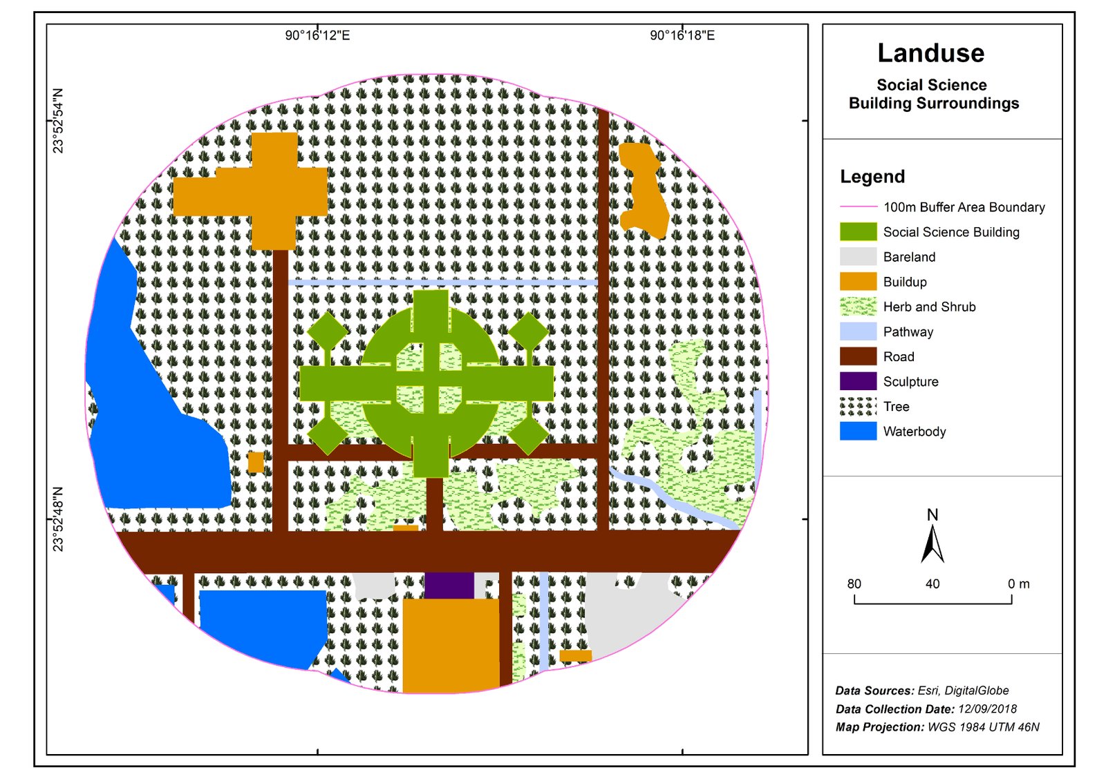
12 stages · 83 subjects · 84 certificates. Each step is what I studied and what stayed with me. Tap a step for every subject.
Royal University of Dhaka CGPA 3.68/4
Jahangirnagar University CGPA 3.57/4
University, Jahangirnagar 3.66
Jahangirnagar University CGPA 3.66/4
University, Dhaka 0.00
Cantonment College, Jashore GPA 4.9/5
College, Jashore 4.90
Andulia Dakhil Madracha GPA 5/5
Madracha, Chougacha 5.00
Andulia Dakhil Madrasah, Andulia, Chougachha GPA 5.00
Arabic and Quran studies alongside science, mathematics and ICT.
Andulia Government Primary School, Andulia, Chougachha PSC
Self-study habits and a first fascination with maps.
Village moktab, Ramkrishnapur, Chougachha
The discipline of daily learning.
Marksheets with credits and grades → · 84 certificates and trainings →
No journey is a solo achievement. Family, village friends, teachers, classmates, hall-mates and mess-mates, bosses and colleagues: each tied to the chapter where they appear and the lesson that still lives in the work.